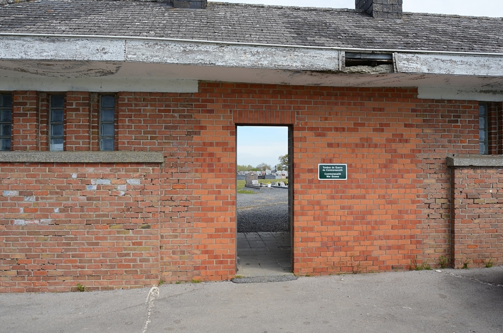
GRAND-RENG COMMUNAL CEMETERY
Hainaut
Belgium
GPS Coordinates Latitude: 50.32793 Longitude: 4.07898
Location Information
The village of Grand-reng is located south-east of Mons on the N40. From the E42 motorway turn off at junction 24a and onto the ring R5. Follow the ring to the end and turn right onto the N6. Follow the N6 to the junction with the N546 and turn left onto the N546 through the village of Givry to the junction with the N40. Turn right on the N40 and follow through the village of Rouveroy to the sign for Grand-reng. Turn right towards Grand-reng along rue de Botignies. At the crossroads turn left into rue Clique-ci and take the first turning right into rue de la Couture. At the crossroads turn left into rue du Cimetiere and the cemetery is along on the left. The graves are located to the left of the crucifix.
Historical Information
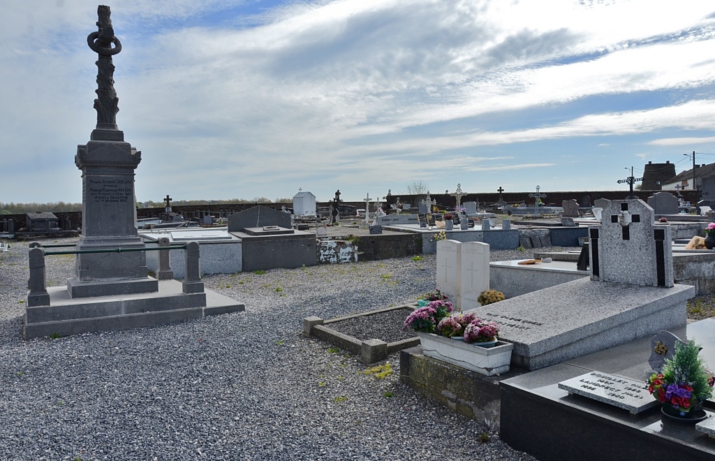
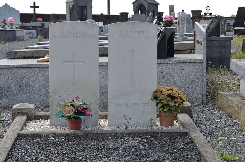
Grand-Reng Communal Cemetery contains two unidentified Commonwealth burials of the First World War, both dating from August 1914.
Cemetery pictures © Johan Pauwels
The village of Grand-reng is located south-east of Mons on the N40. From the E42 motorway turn off at junction 24a and onto the ring R5. Follow the ring to the end and turn right onto the N6. Follow the N6 to the junction with the N546 and turn left onto the N546 through the village of Givry to the junction with the N40. Turn right on the N40 and follow through the village of Rouveroy to the sign for Grand-reng. Turn right towards Grand-reng along rue de Botignies. At the crossroads turn left into rue Clique-ci and take the first turning right into rue de la Couture. At the crossroads turn left into rue du Cimetiere and the cemetery is along on the left. The graves are located to the left of the crucifix.
Historical Information
Grand-Reng Communal Cemetery contains two unidentified Commonwealth burials of the First World War, both dating from August 1914.
Cemetery pictures © Johan Pauwels