BOVEKERKE CHURCHYARD
West-Vlaanderen
Belgium
GPS Coordinates Latitude: 51.05382 Longitude: 2.96305
Location Information
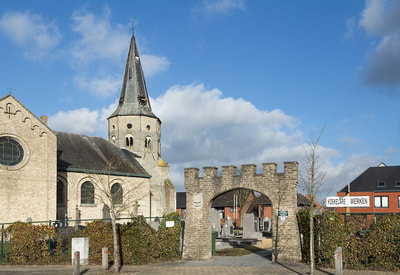
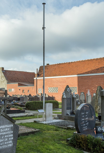
The village of Bovekerke is located east of the town of Diksmuide off the N363. Drive out of Diksmuide on the N369 direction Oostende, and at the first major junction take the turn on the right to Ichtegem, the N363. Take the 2nd larger turning to the right signed Bovekerke, follow this road into the village and the church is on the left hand side. Walking into the churchyard the grave is located on the right hand side of the church
Historical Information
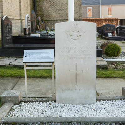
Bovekerke Churchyard contains the graves of one unidentified Commonwealth airman of the First World War.
Pictures © Werner Van Caneghem


