LAMAIN COMMUNAL CEMETERY
Hainaut
Belgium
GPS Coordinates Latitude: 50.59687 Longitude: 3.29229
Location Information
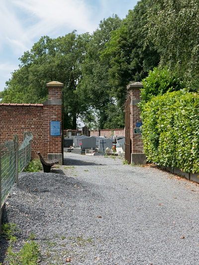
The village of Lamain is located west of the town of Tournai off the N7. From the motorway E42 turn off at junction 35 and onto the N7 direction Lille. At the first crossroads turn left into rue R Lefebvre direction Lamain. Follow this road into the centre of the village where the church and cemetery are on the right. The graves are located to the rear of the cemetery on the left.
Historical Information
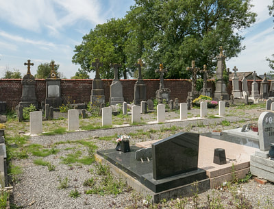
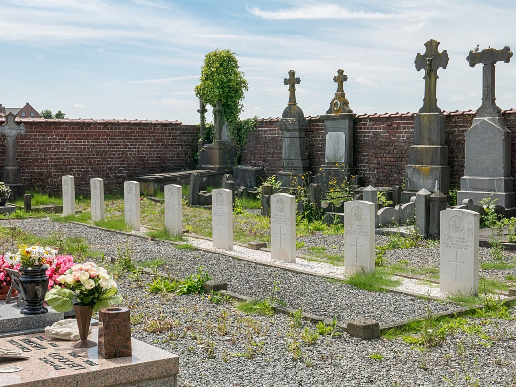
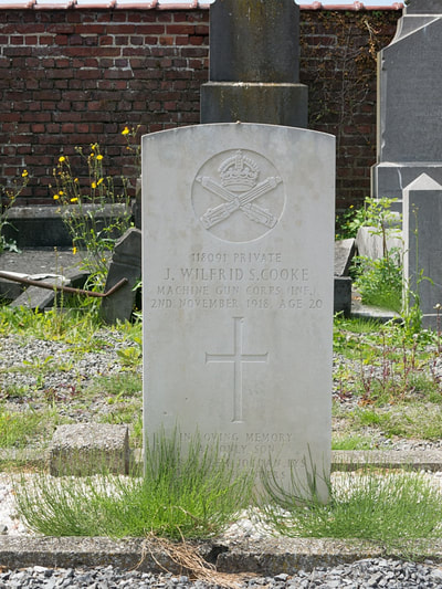
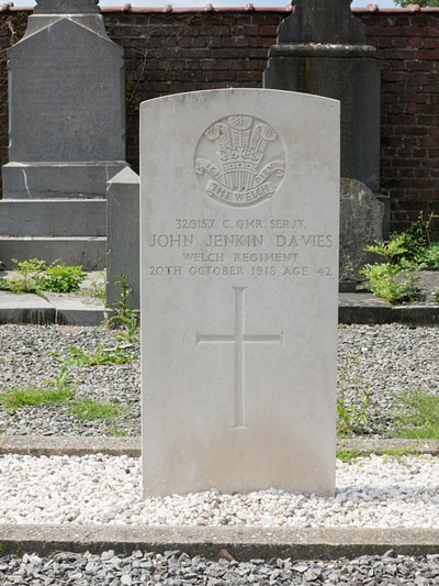
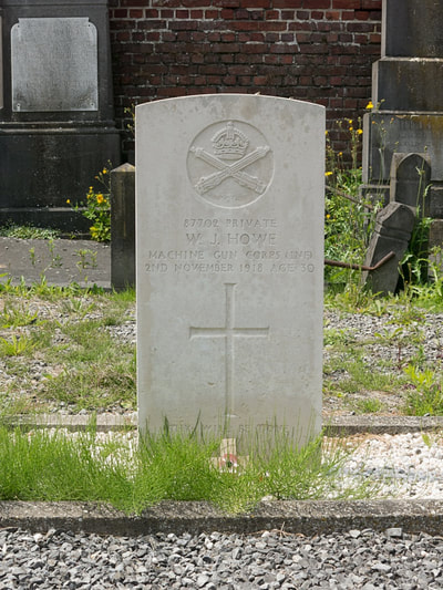
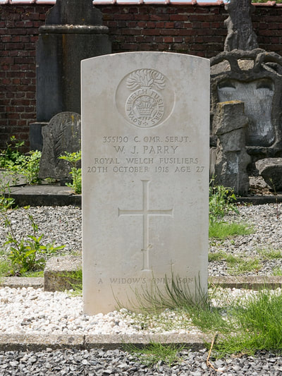
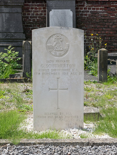
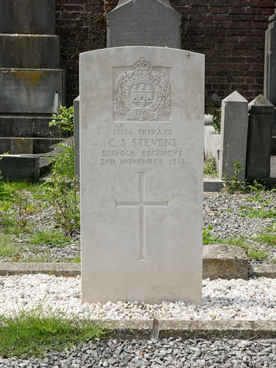
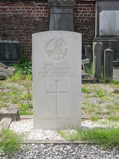
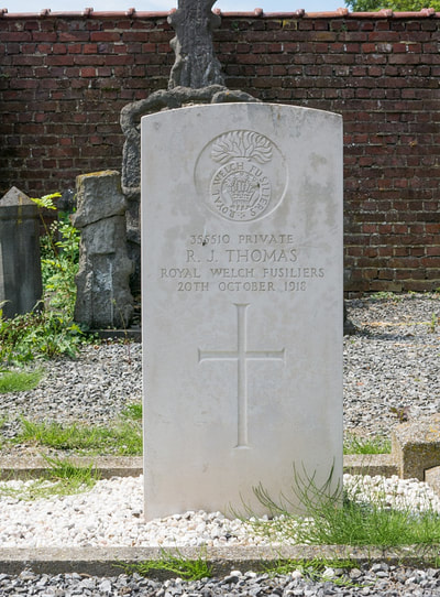
Lamain Communal Cemetery contains eight Commonwealth burials of the First World War, all men of the 74th (Yeomanry) Division who died during the Advance to Victory in October and November 1918.
Cemetery pictures © Werner Van Caneghem
Click on Individual Headstone for Details

