MARKE COMMUNAL CEMETERY
West-Vlaanderen
Belgium
GPS Coordinates Latitude: 50.80652 Longitude: 3.23988
Location Information
The village of Marke is located south west of the town of Kortrijk on the N43 which runs between Kortrijk and Aalbeke.
From junction 12 of the R8 take the N43 direction Aalbeke and take the major road turning on the right called Hellestraat. Follow this road and then take the third turning on the right called Spinnerstraat, the cemetery is along here on the left.
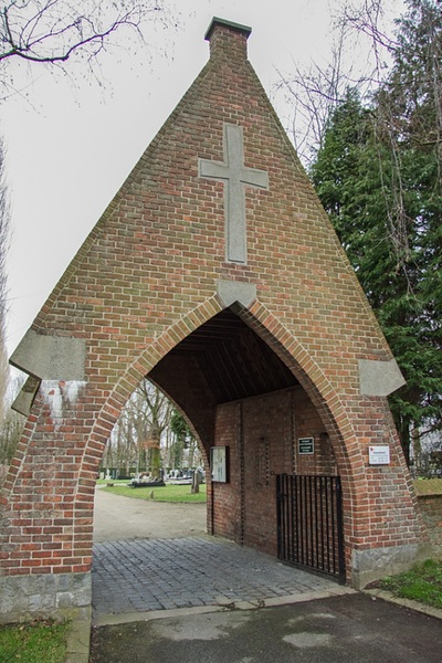
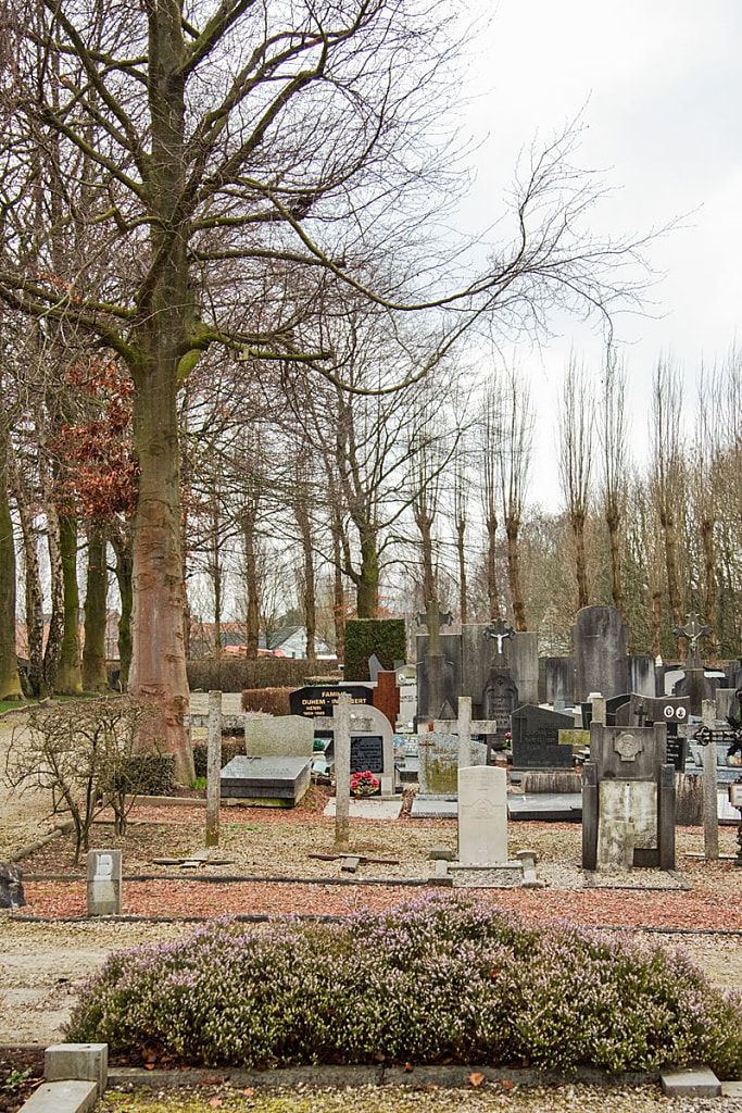
Enter the cemetery at the main entrance walk from the gate to the main central path and turn right. The grave is located about 75 meters along the path on the left.
Historical Information
Marke Communal Cemetery contains one Commonwealth burial of the First World War.
Burial Details
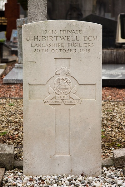
19418 Private J. H. Birtwell D. C. M. 17th Bn. Lancashire Fusiliers, died 20th October 1918.
Pictures © Werner Van Caneghem


