MONT-ST. ANDRÉ CHURCHYARD
Brabant Wallon
Belgium
GPS Coordinates Latitude: 50.65491 Longitude: 4.86332
Location Information
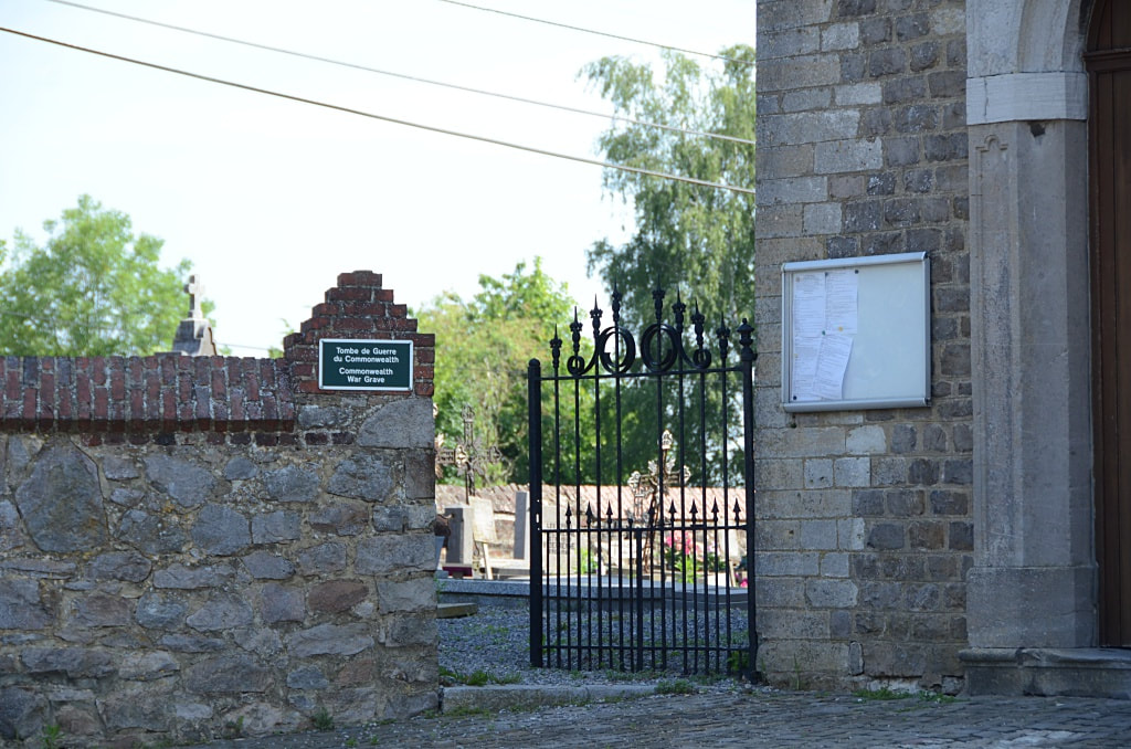
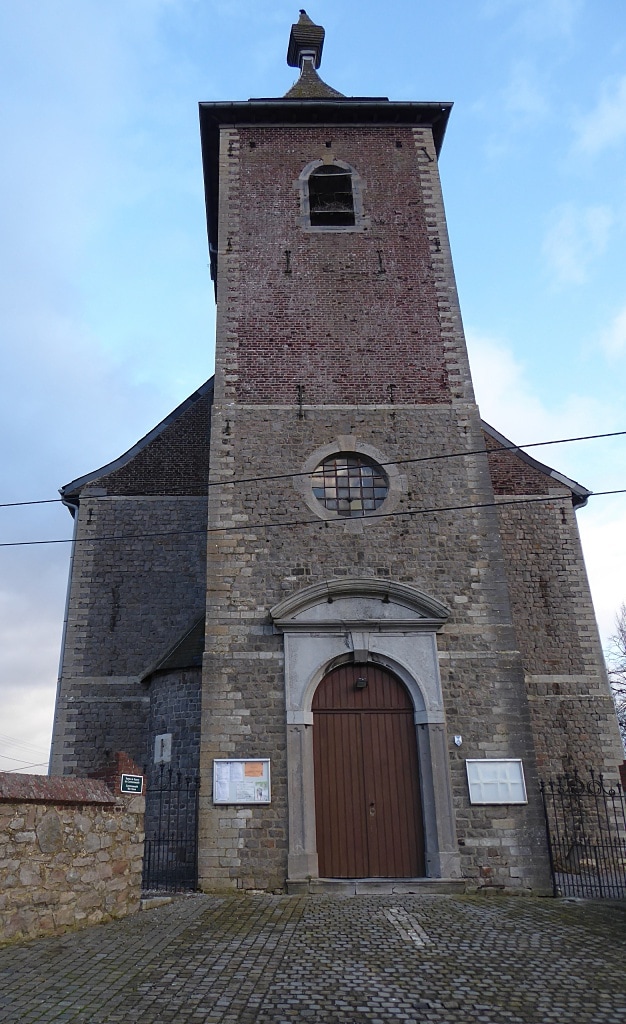
The village of Mont-St. André is situated to the north-west of Ramillies off the N91 which runs between Namur and Louvain. From the motorway E411/A4, turn off at Junction 11, Thorembais-St-Trond, and take the N29 in the direction of Jodoigne. Follow the N29 to the junction with the N91. At this junction turn right onto the N29 in the direction of Namur. After a short distance there is a road to the left signed for Mont St. Andre, this road is called Rue Petit Wariche. Turn left here and follow the road into the village. The church is on the left in the centre of the village and the Commonwealth graves are located at the rear of the church.
Historical Information
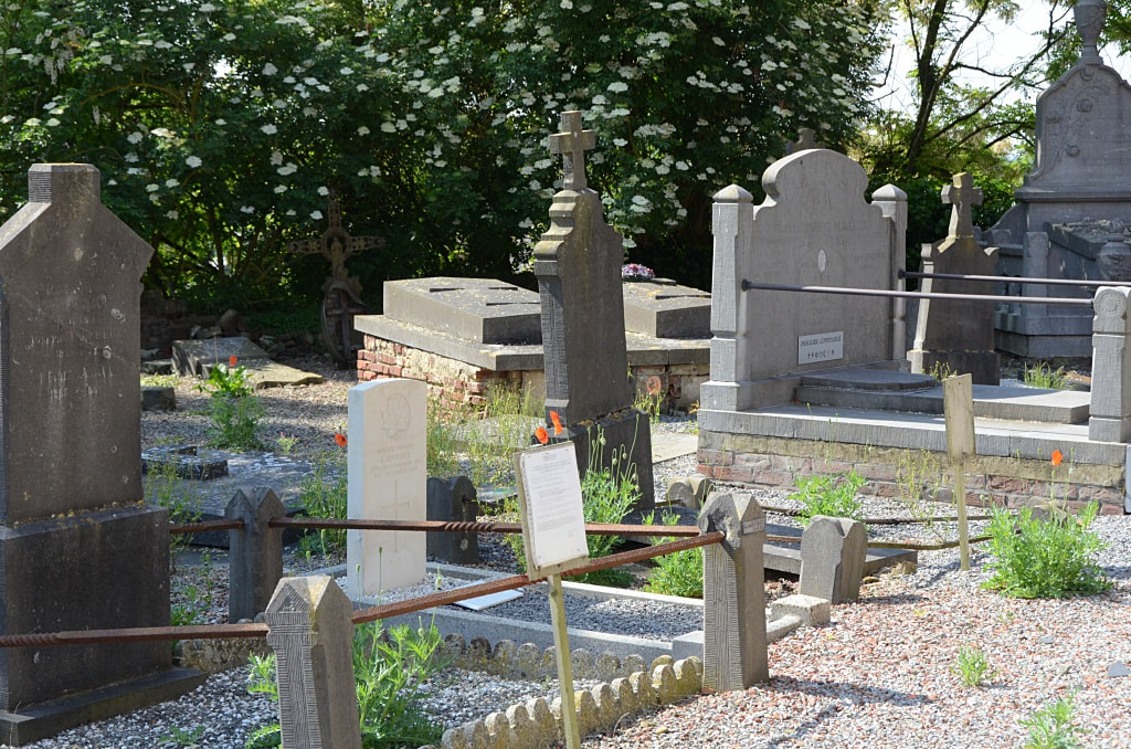
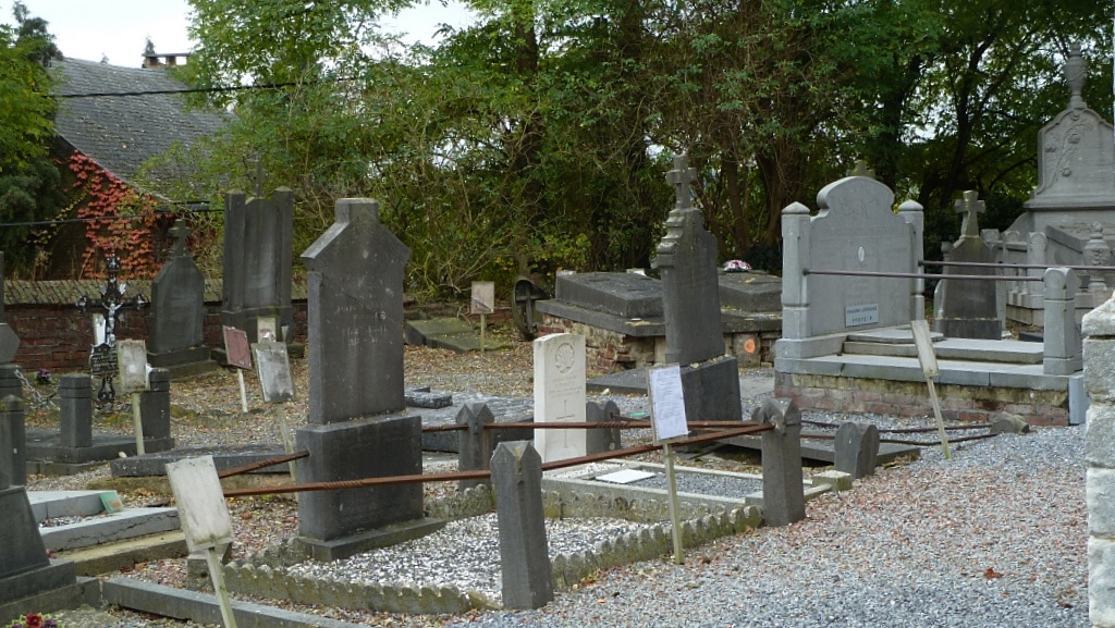
Mont-St. André Churchyard contains one Commonwealth burial of the First World War.
Burial Details
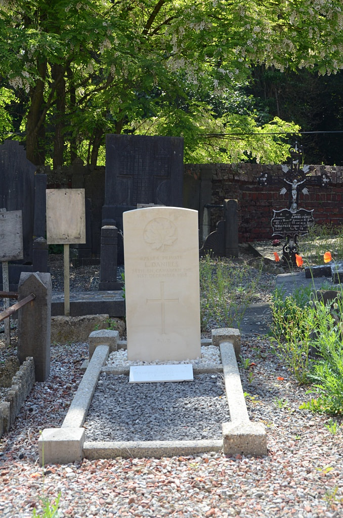
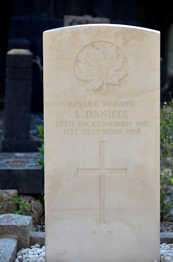
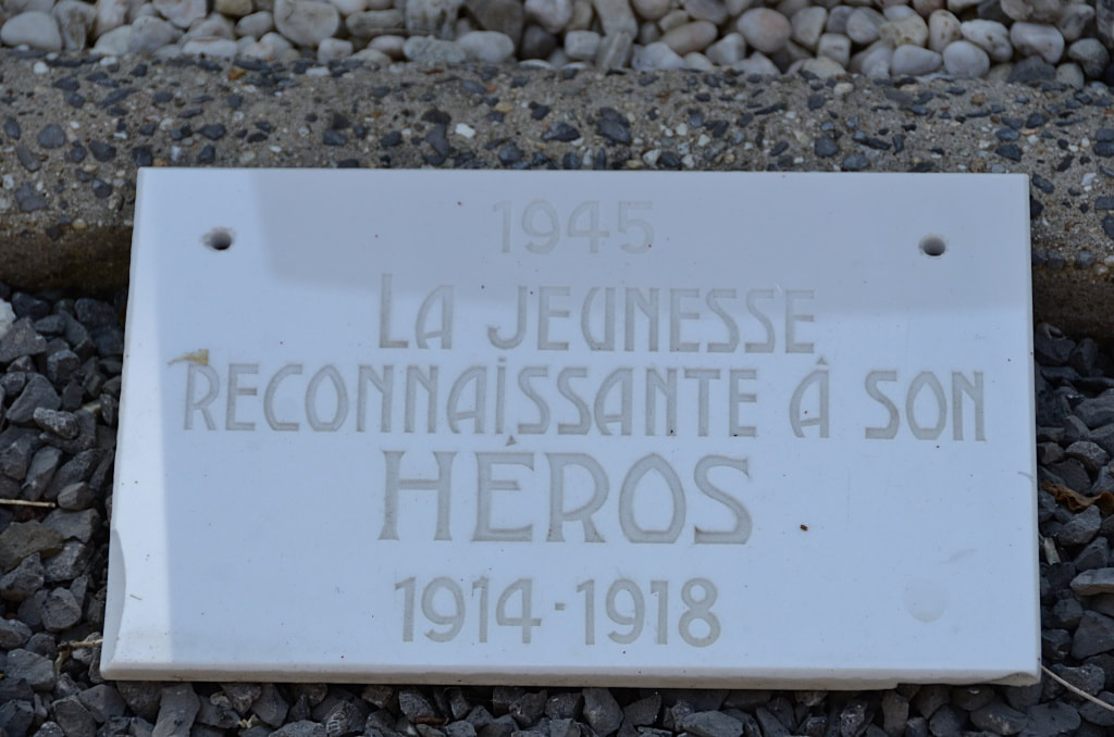
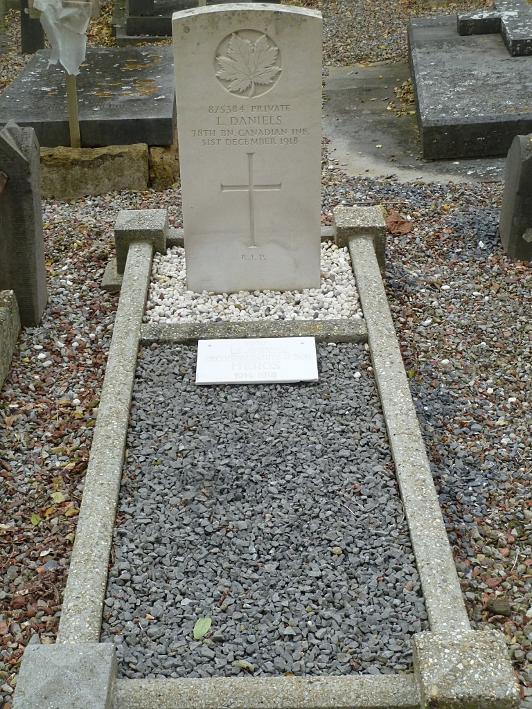
875384 Private L. Daniels, 78th Bn. Canadian Infantry, died 31st December 1918.
Pictures in gallery below © André De Smet
The village of Mont-St. André is situated to the north-west of Ramillies off the N91 which runs between Namur and Louvain. From the motorway E411/A4, turn off at Junction 11, Thorembais-St-Trond, and take the N29 in the direction of Jodoigne. Follow the N29 to the junction with the N91. At this junction turn right onto the N29 in the direction of Namur. After a short distance there is a road to the left signed for Mont St. Andre, this road is called Rue Petit Wariche. Turn left here and follow the road into the village. The church is on the left in the centre of the village and the Commonwealth graves are located at the rear of the church.
Historical Information
Mont-St. André Churchyard contains one Commonwealth burial of the First World War.
Burial Details
875384 Private L. Daniels, 78th Bn. Canadian Infantry, died 31st December 1918.
Pictures in gallery below © André De Smet

Pictures in gallery below © Johan Pauwels