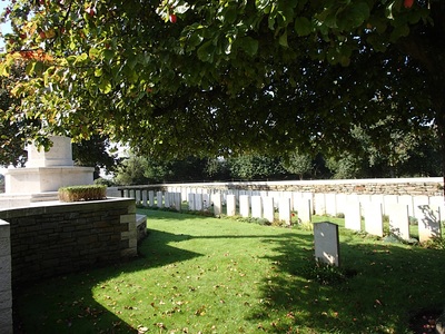
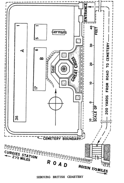
SEBOURG BRITISH CEMETERY
Nord
France
GPS Coordinates - Latitude: 50.33697, Longitude: 3.65667
Location Information
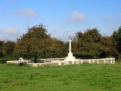
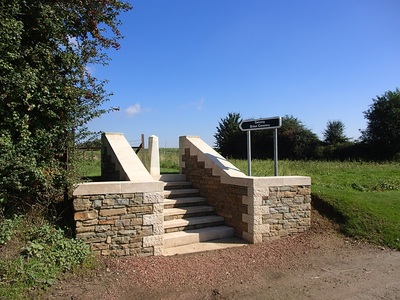
Sebourg is a village in the Department of the Nord, about 10 kilometres east of Valenciennes. The British Cemetery stands on the high land east of the village, about 140 metres north of the road to Roisin.
Visiting Information
Wheelchair access with some difficulty.
The register is available in the Mairie from Monday Tuesday Thursday Friday from 9.00 to 12.30
Wednesday from 9.00 to 12.00 and from 15.00 to 18.00
Saturday from 9.00 à 12.00
Historical Information
The neighbourhood of Sebourg was the scene of fighting in November 1918 during the crossing of the river Aunelle.
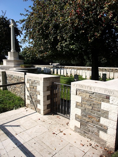
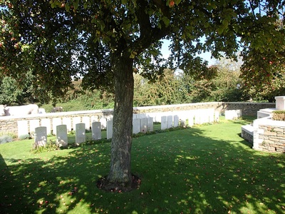
Sebourg British Cemetery contains 61 Commonwealth burials of the First World War, five of which are unidentified.
Casualty Details: UK 60, Canada 1, Total Burials: 61.


