WARQUIGNIES COMMUNAL CEMETERY
Hainaut
Belgium
GPS Coordinates: Latitude: 50.39929, Longitude: 3.82501
Location Information
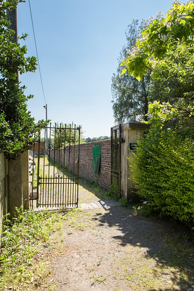
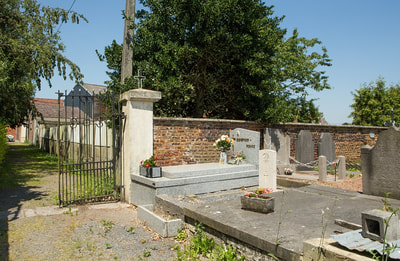
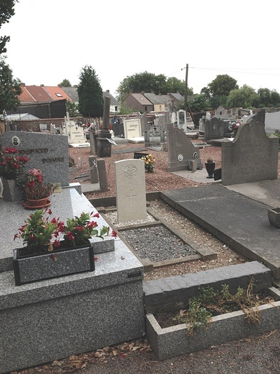
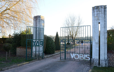
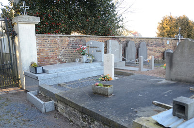
The village of Warquignies is located south-west of the town of Mons off the N549. From the motorway E42 turn off at junction 26 onto the N552 direction Bavay. Follow the N552 to the junction with the N549 then follow the N549 direction Bavay (France). On entering the village of Athis turn left at the junction with the N555 direction Blaugies. Follow the road through Blaugies and at the fork bear right towards Warquignies. On entering the village take the second turning right into Rue Baille Cariotte and the cemetery is on the right. The graves are located to the left of the entrance.
Historical Information
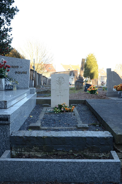
Warquignies Communal Cemetery contains one Commonwealth burial of the First World War.
Burial Details
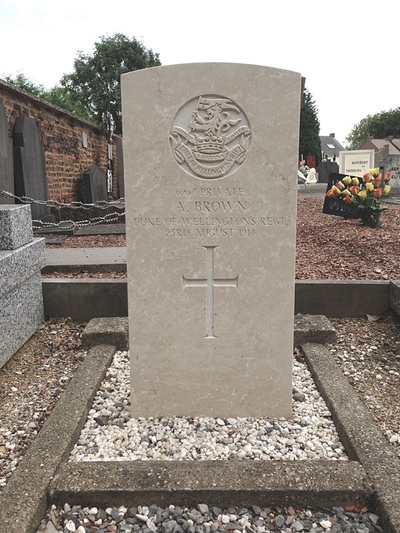
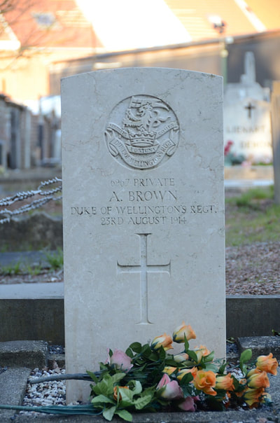
6967 Private Alfred Brown, 2nd Bn. Duke of Wellington's (West Riding Regiment), died 23rd August 1914.
Pictures in gallery below © Joël Deudon
Pictures in gallery below © Johan Pauwels

