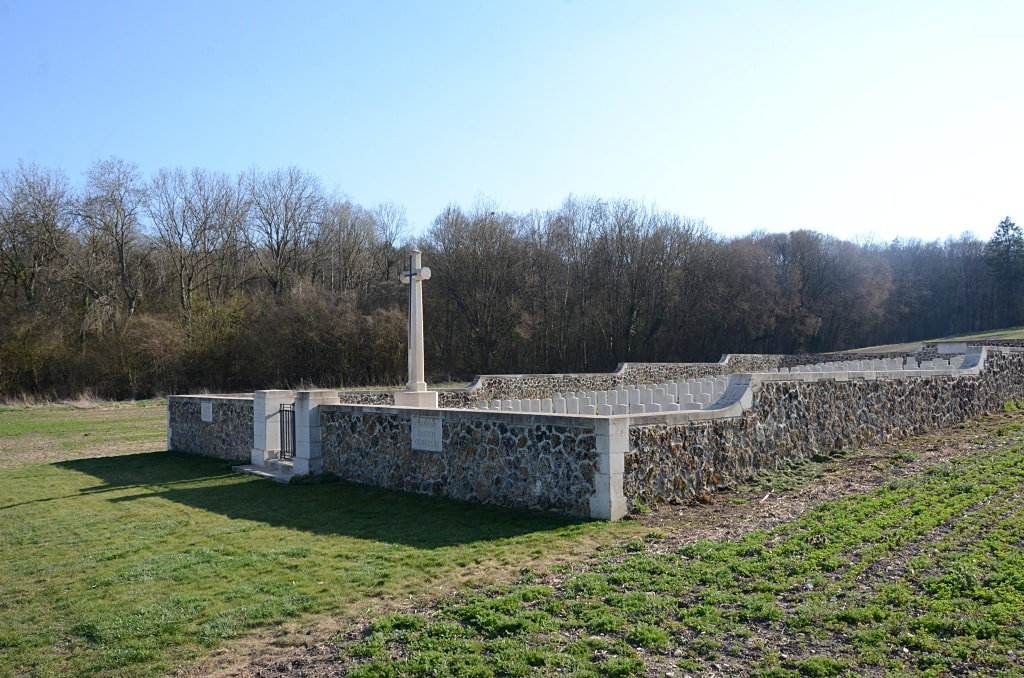
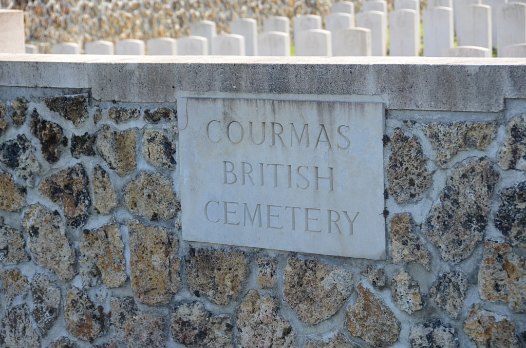
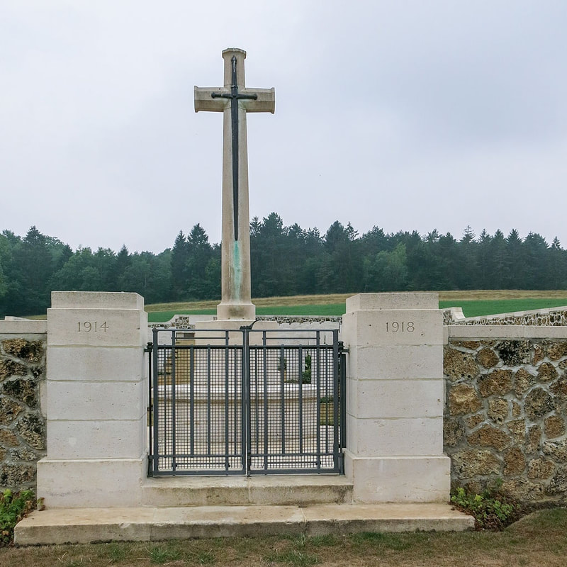
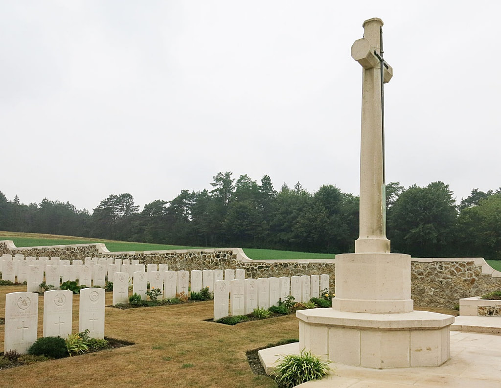
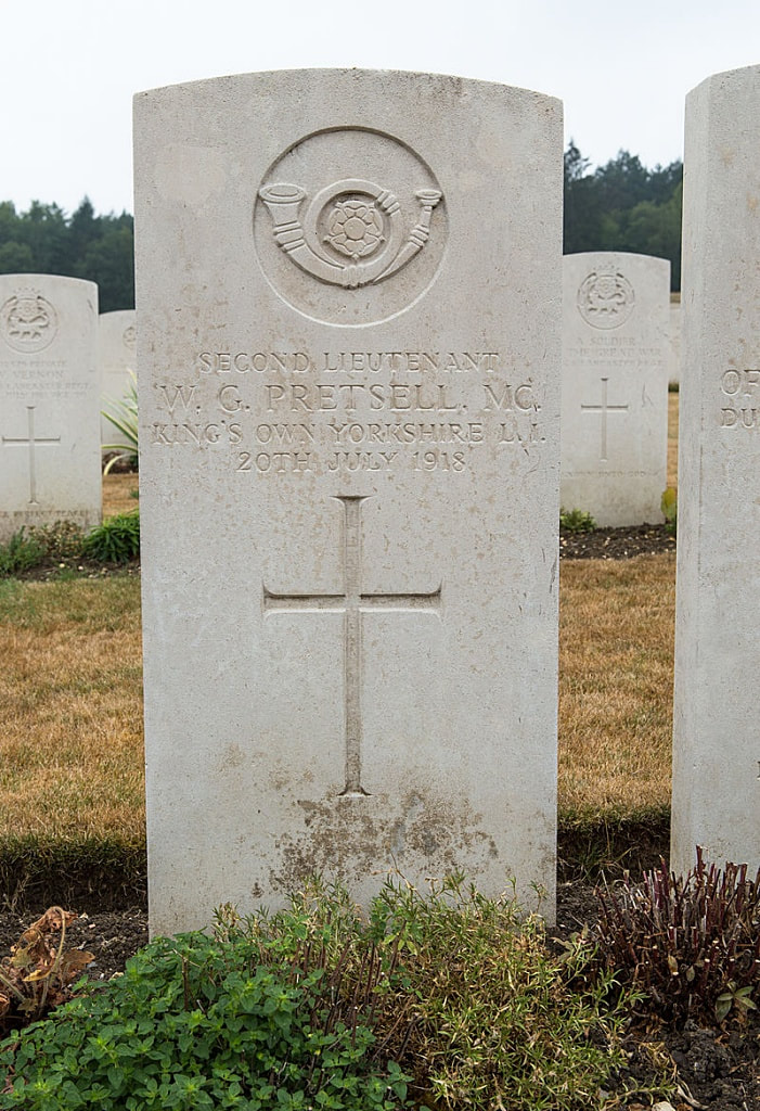
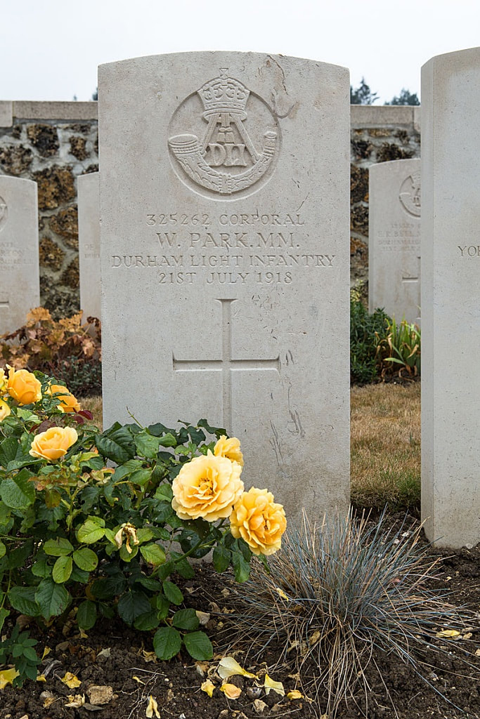
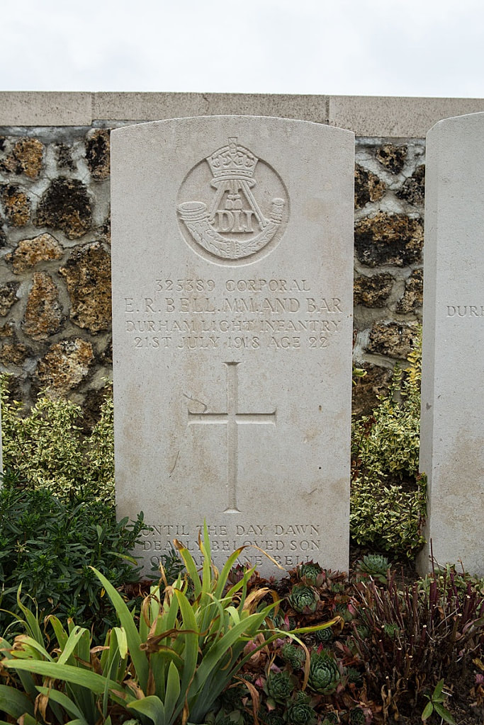
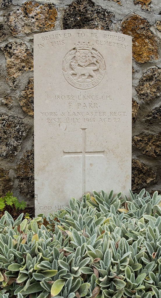
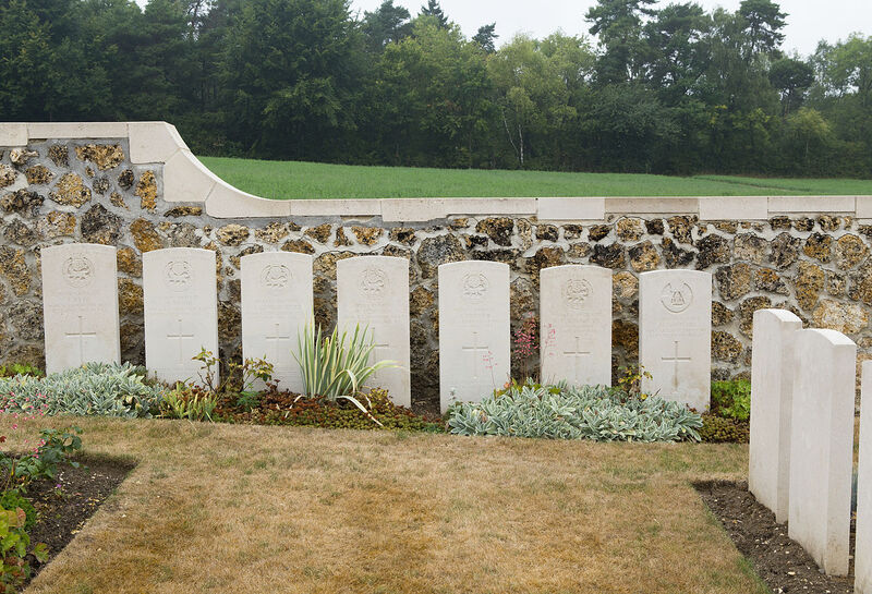
COURMAS BRITISH CEMETERY
Marne
France
GPS Coordinates: Latitude: 49.18688, Longitude: 3.89937
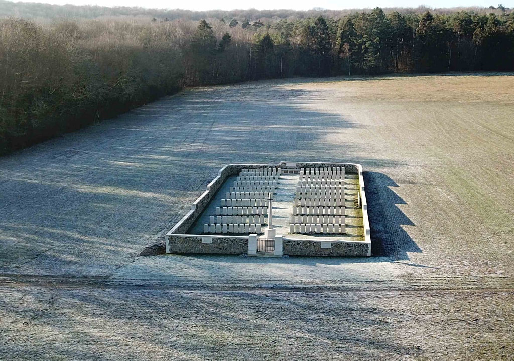
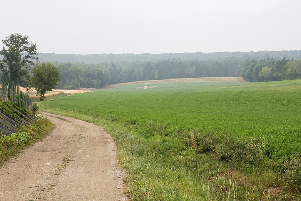
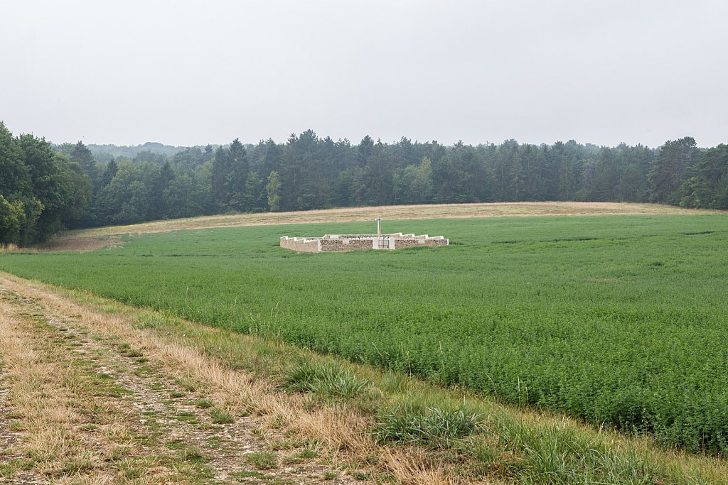
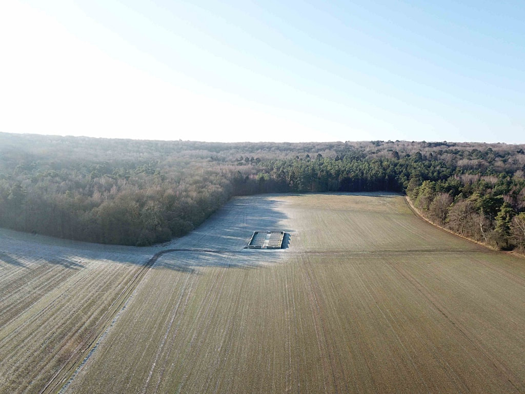
Image above © Carl Liversage @carl_liversage
Location Information
Courmas is a village about 11 kilometres south-west of Reims.
From Reims take the D980 towards Chateau-Thierry and Dormons, passing through the village of Pargny les Reims. After about 8 kilometres turn left along the D6, signposted towards Courmas. On entering the village, turn first right into Rue des Hauts Mur (C11) towards Bouilly, then take the second left into Rue du Pont de Pierre, next to the CWGC direction sign. 30 metres on the right is a small parking area. As the unmade road is not suitable for vehicles, from here walk down the unmade road for 700 metres to the Cemetery.
Historical Information
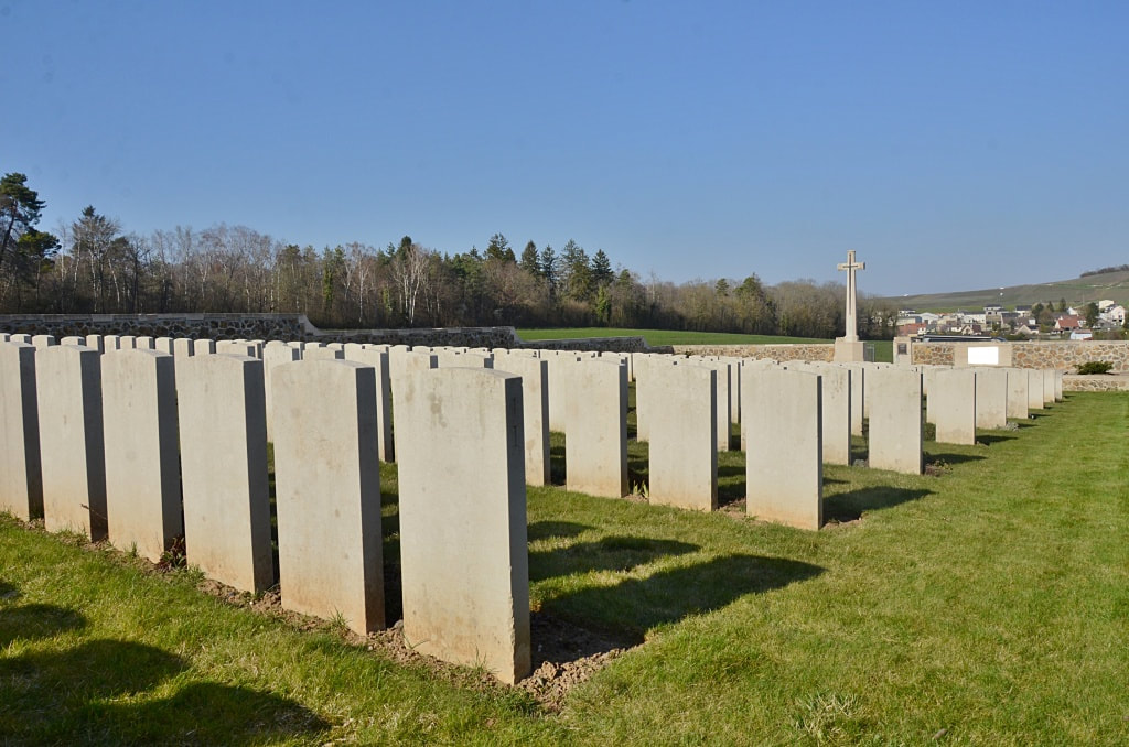
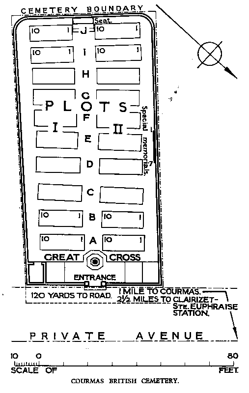
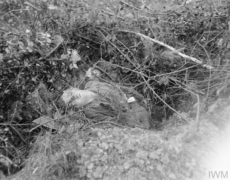
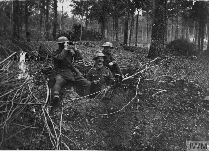
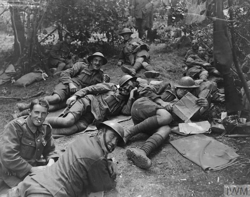
The cemetery was made after the Armistice, by the concentration of graves from the neighbouring battlefields and from COURMAS VILLAGE and COURMAS CHATEAU BRITISH CEMETERIES (small cemeteries made by the 62nd (West Riding) Division after the fighting of the 20th July, 1918).
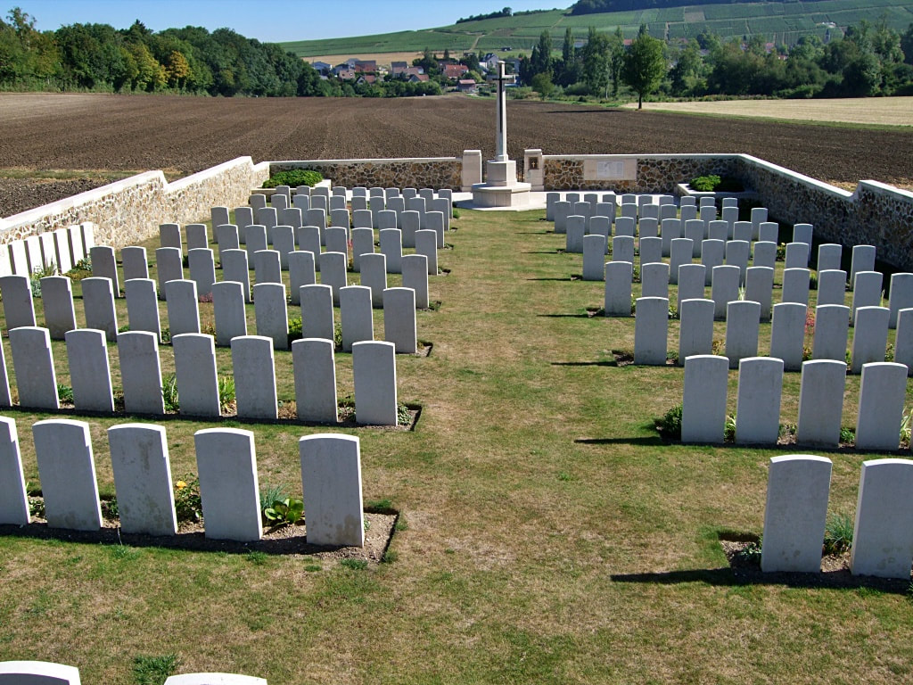
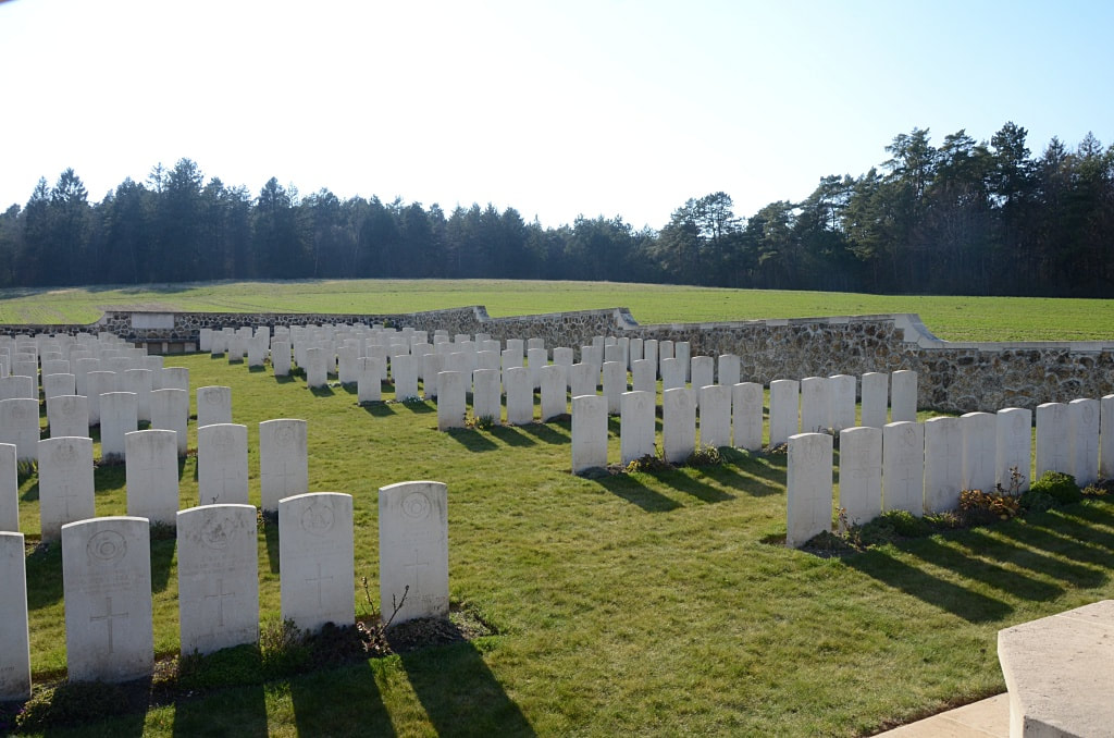
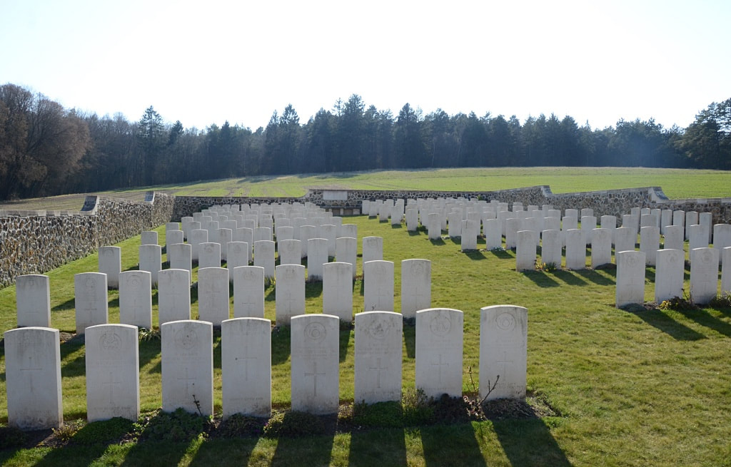
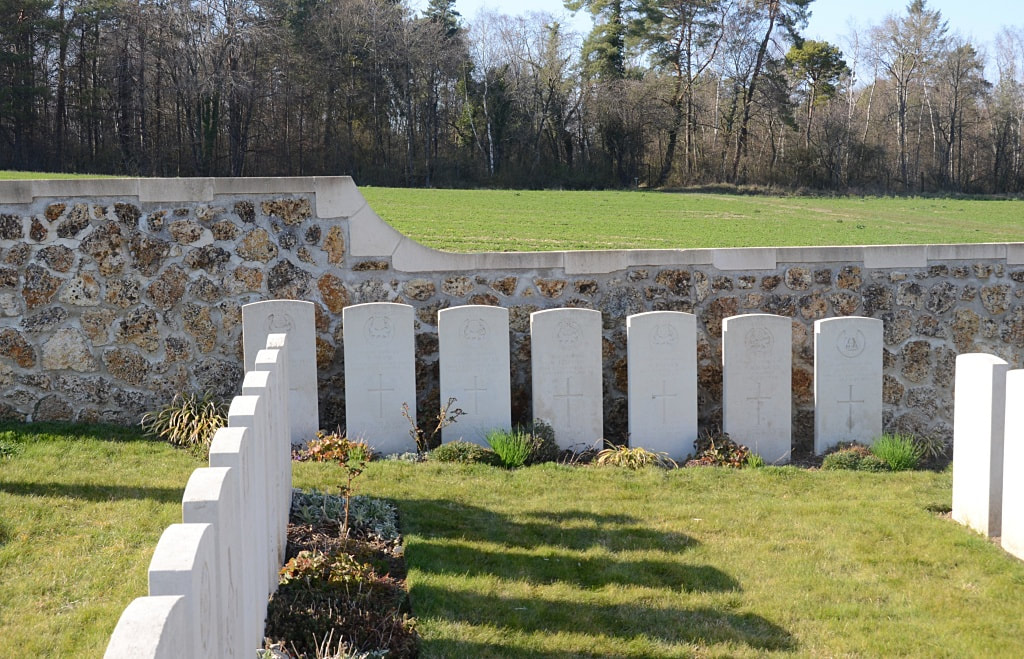
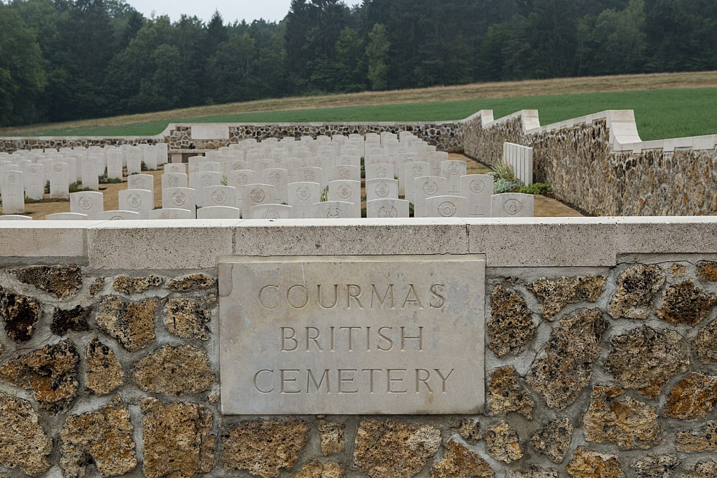
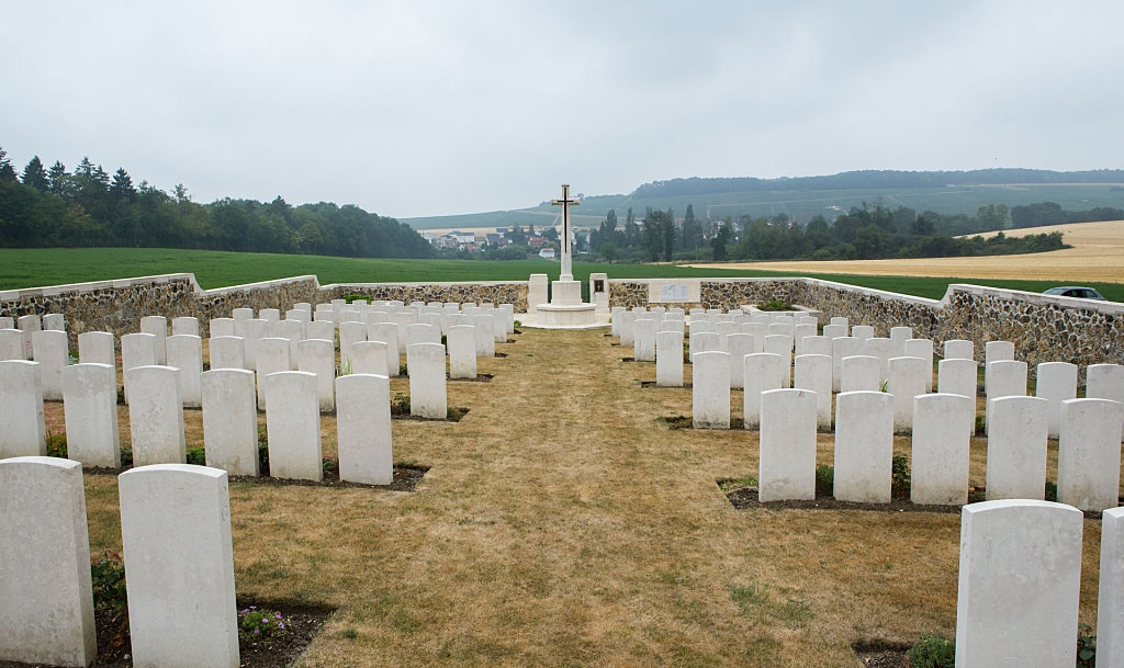
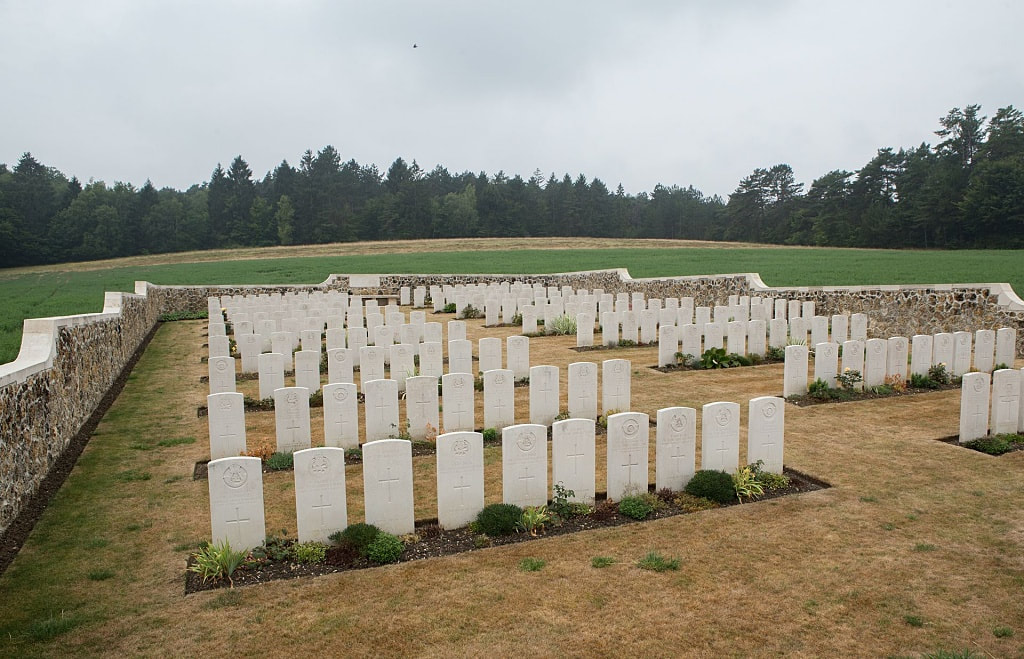
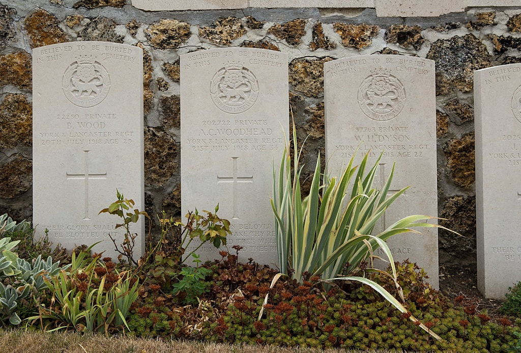
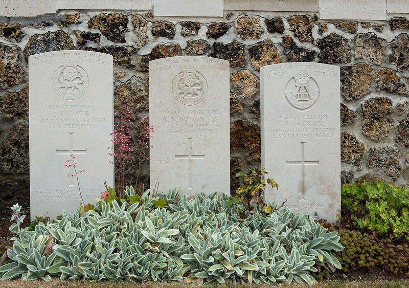
There are 207, 1914-18 war casualties commemorated in this site. Of these,77 are unidentified and special memorials are erected to seven British soldiers believed to be buried among them.
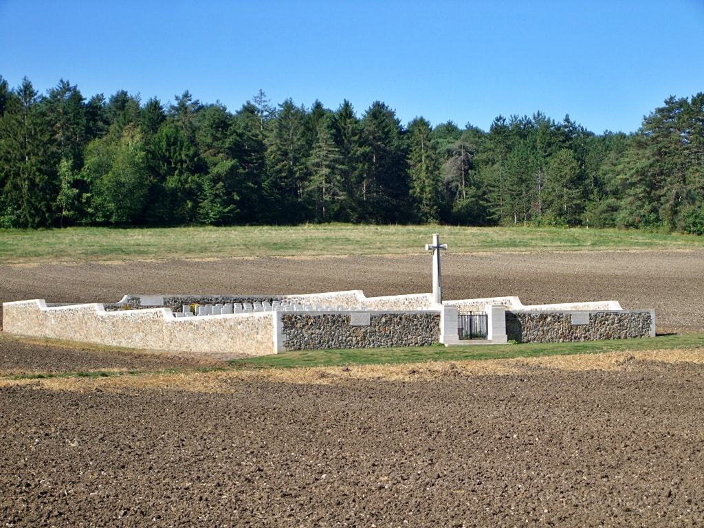
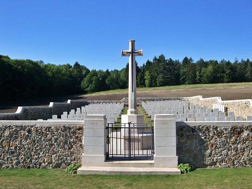
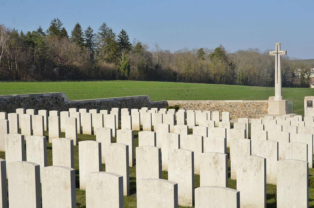
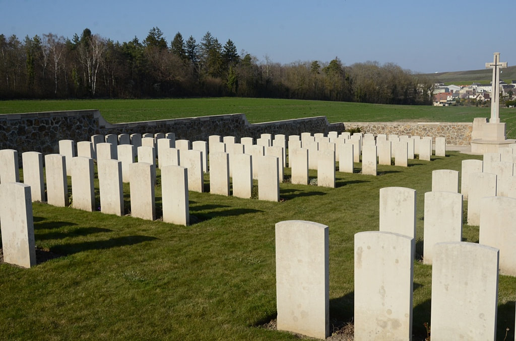
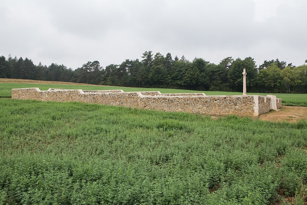
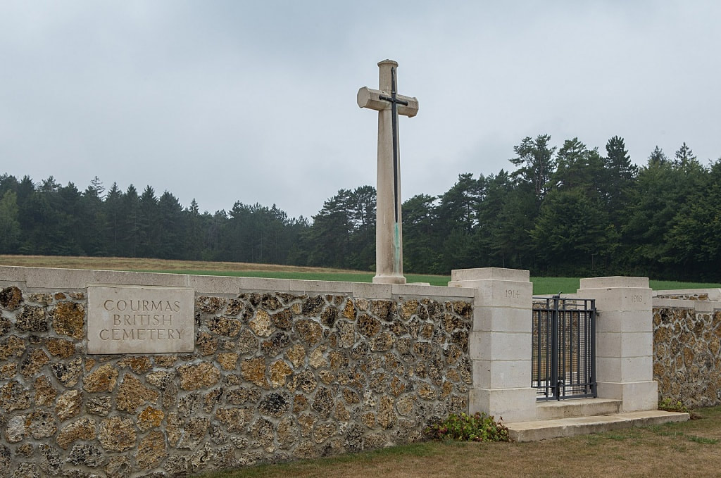
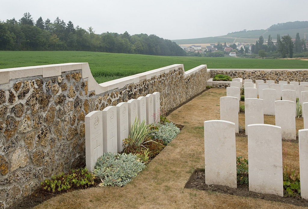
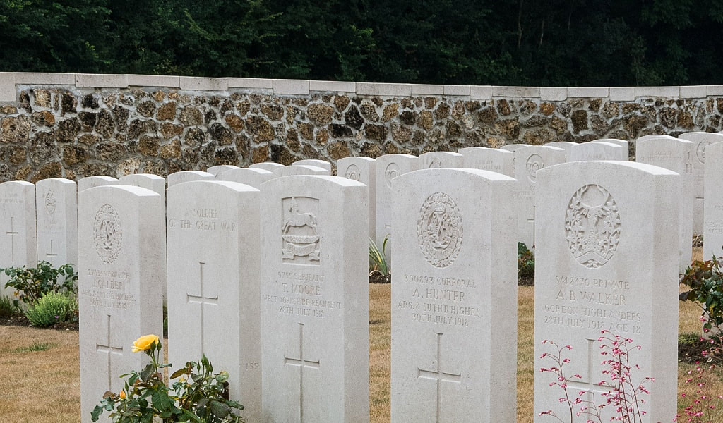
The cemetery covers an area of 605 square metres and it is enclosed by a stone rubble wall.
Total Burials: 207.
Identified Casualties: United Kingdom 130.
Unidentified Casualties: United Kingdom 77.
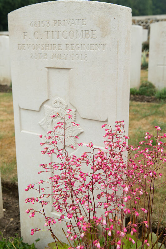
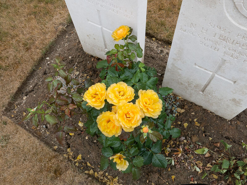
Cemetery images in gallery below © Johan Pauwels
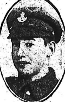
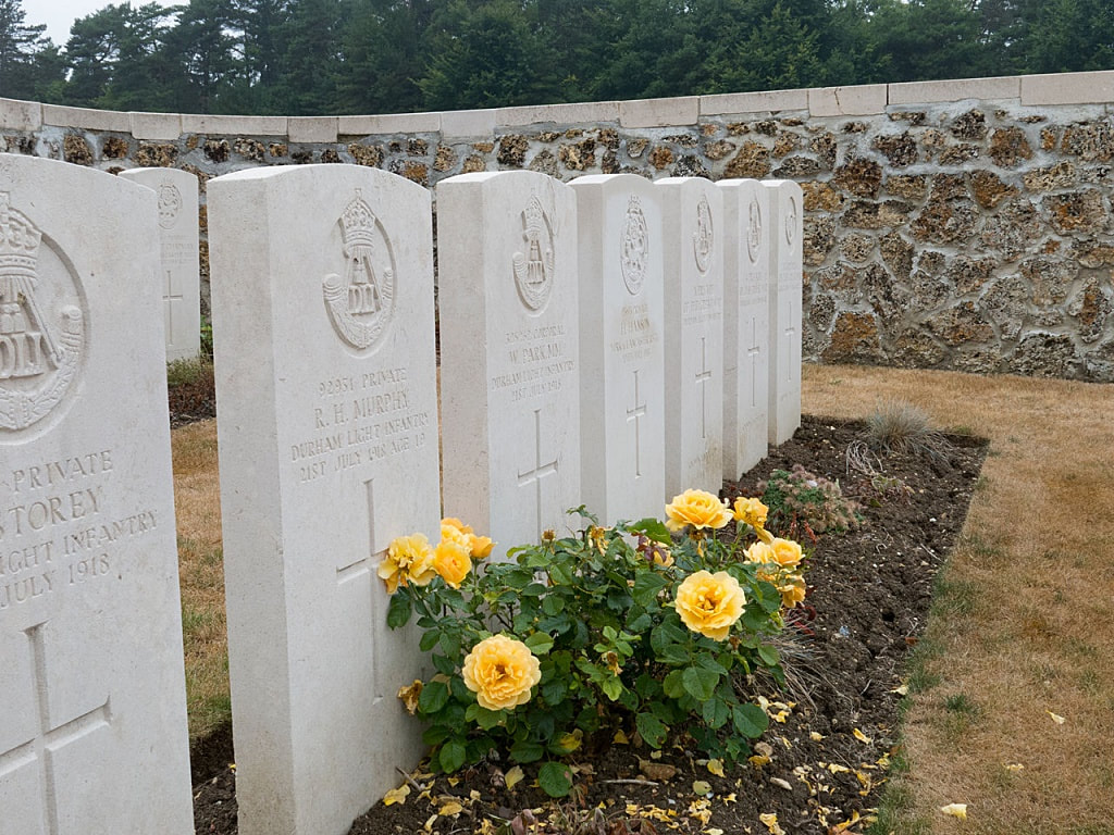
78917 Private
C. B. Raynes
1st/9th Bn. Durham Light Infantry
21st July 1918.
Plot I. I. 2.
C. B. Raynes
1st/9th Bn. Durham Light Infantry
21st July 1918.
Plot I. I. 2.

