MANDRES-SUR-VAIR COMMUNAL CEMETERY
Vosges
France
GPS Coordinates: Latitude: 48.22431, Longitude: 5.88926
Location Information
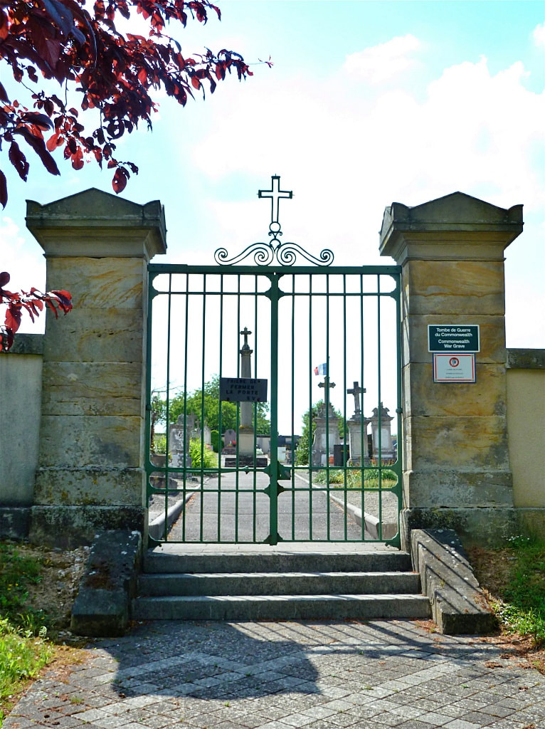
Mandres-sur-Vair is a small village, North West of Vittel. The Communal Cemetery is located to the west of the village on the D17.
Historical Information
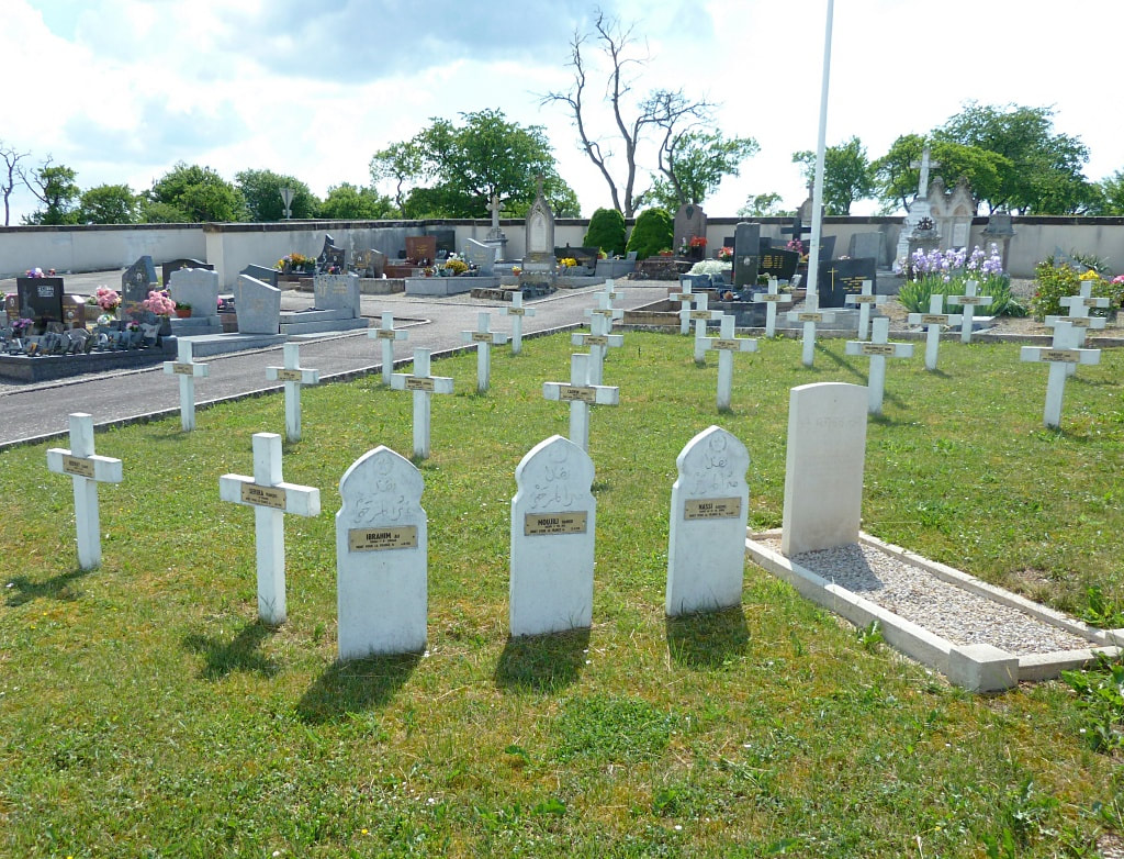
Mandres-sur-Vair Communal Cemetery contains one Commonwealth burial of the First World War. The Commonwealth grave is near the west boundary.
Burial Details
1410 Labourer, Chandrai Tudu. 52nd. Coy Indian Labour Coy. 30/05/1918. Grave Ref: 37.
Mandres-sur-Vair is a small village, North West of Vittel. The Communal Cemetery is located to the west of the village on the D17.
Historical Information
Mandres-sur-Vair Communal Cemetery contains one Commonwealth burial of the First World War. The Commonwealth grave is near the west boundary.
Burial Details
1410 Labourer, Chandrai Tudu. 52nd. Coy Indian Labour Coy. 30/05/1918. Grave Ref: 37.