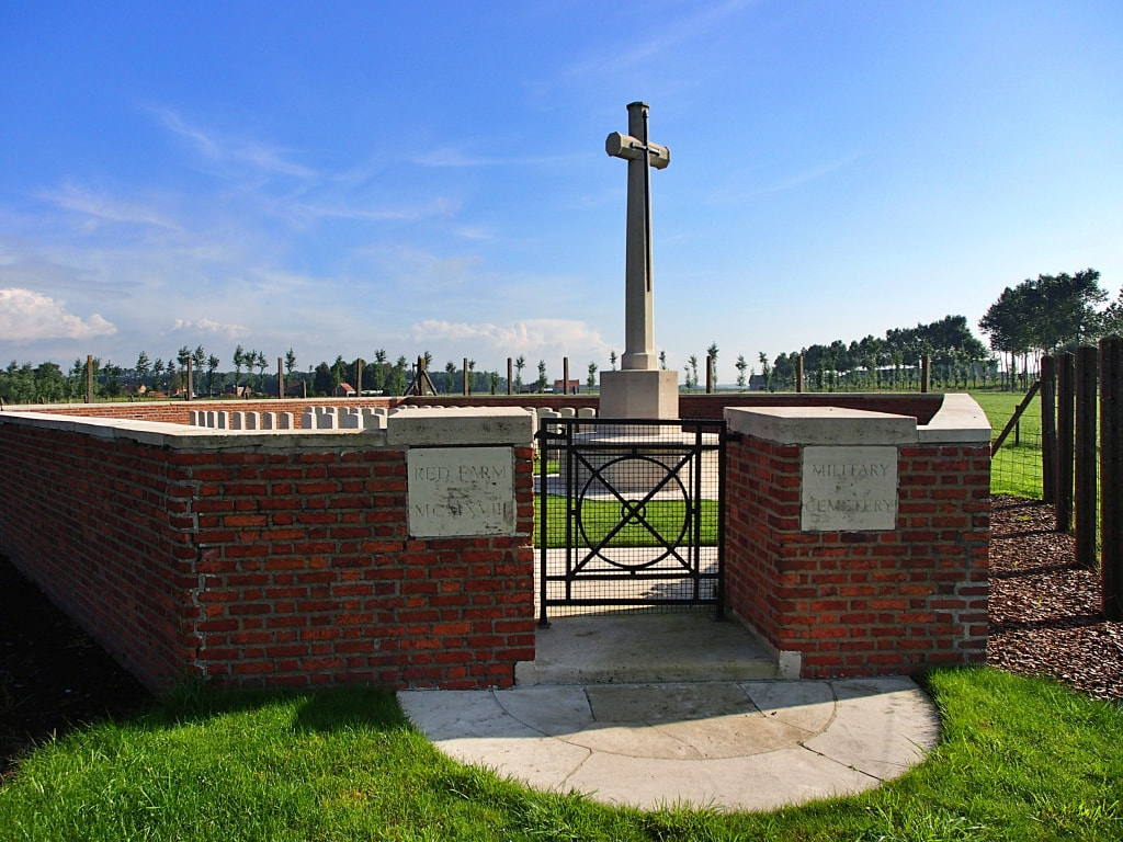
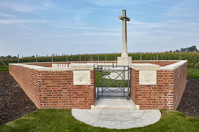
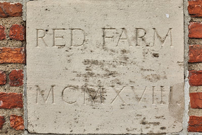
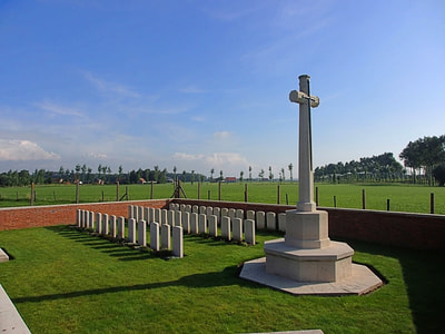
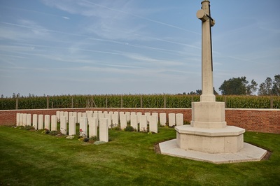
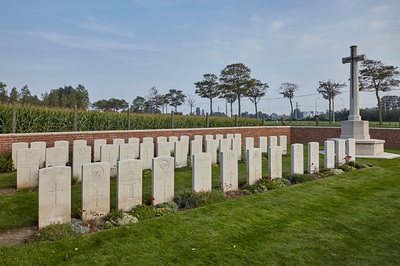
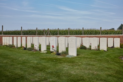
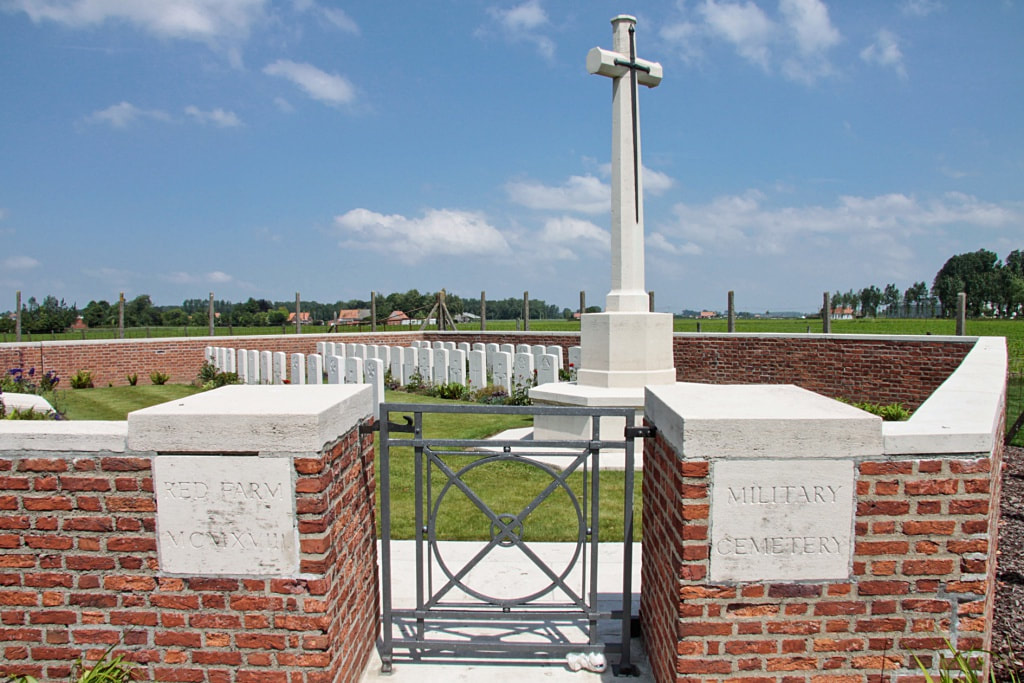
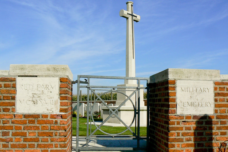
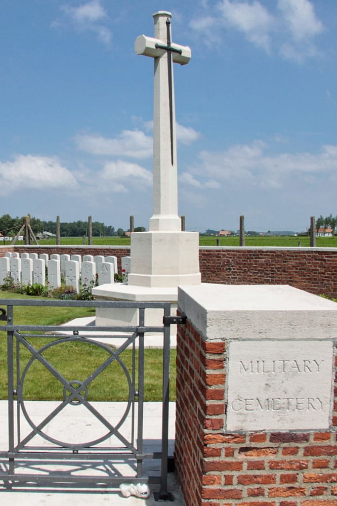
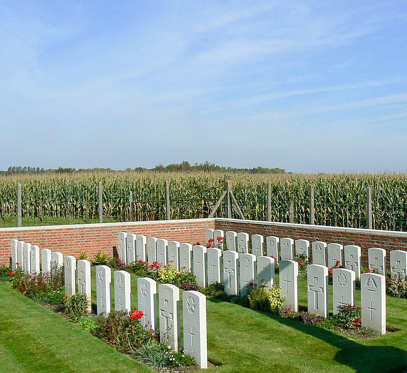
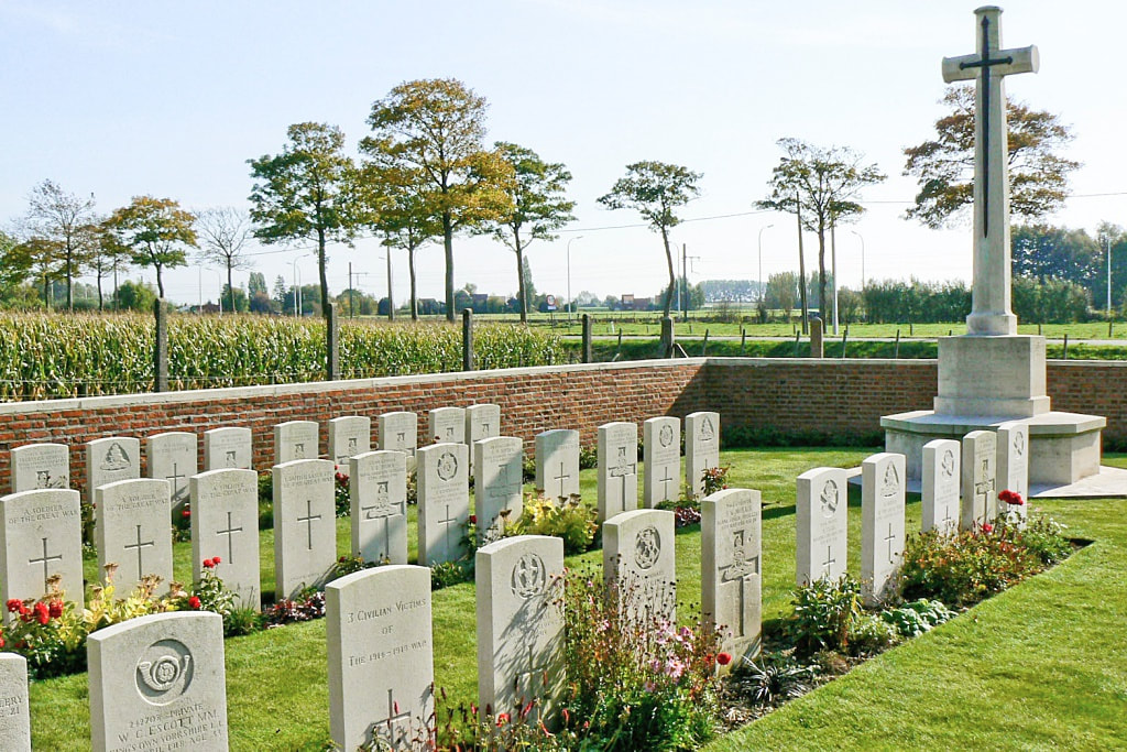
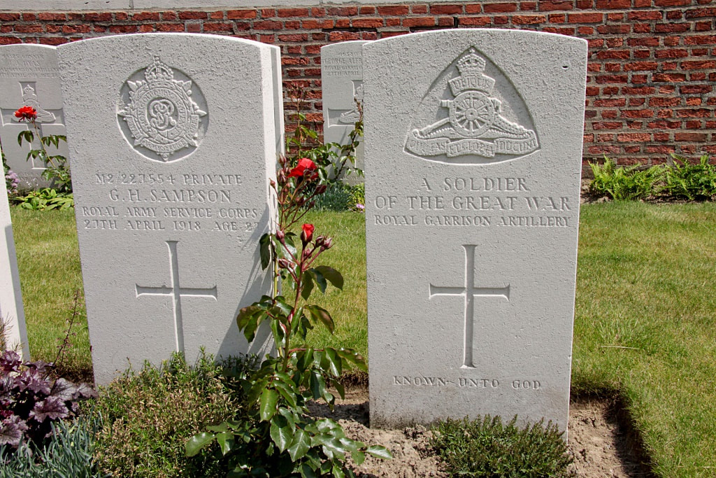
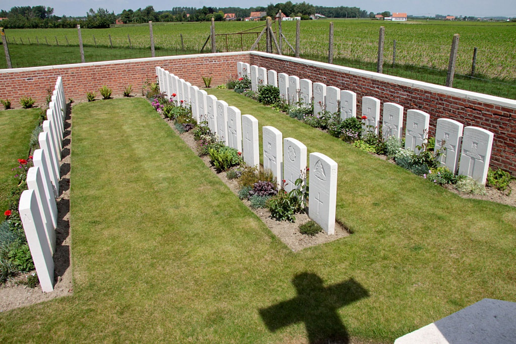
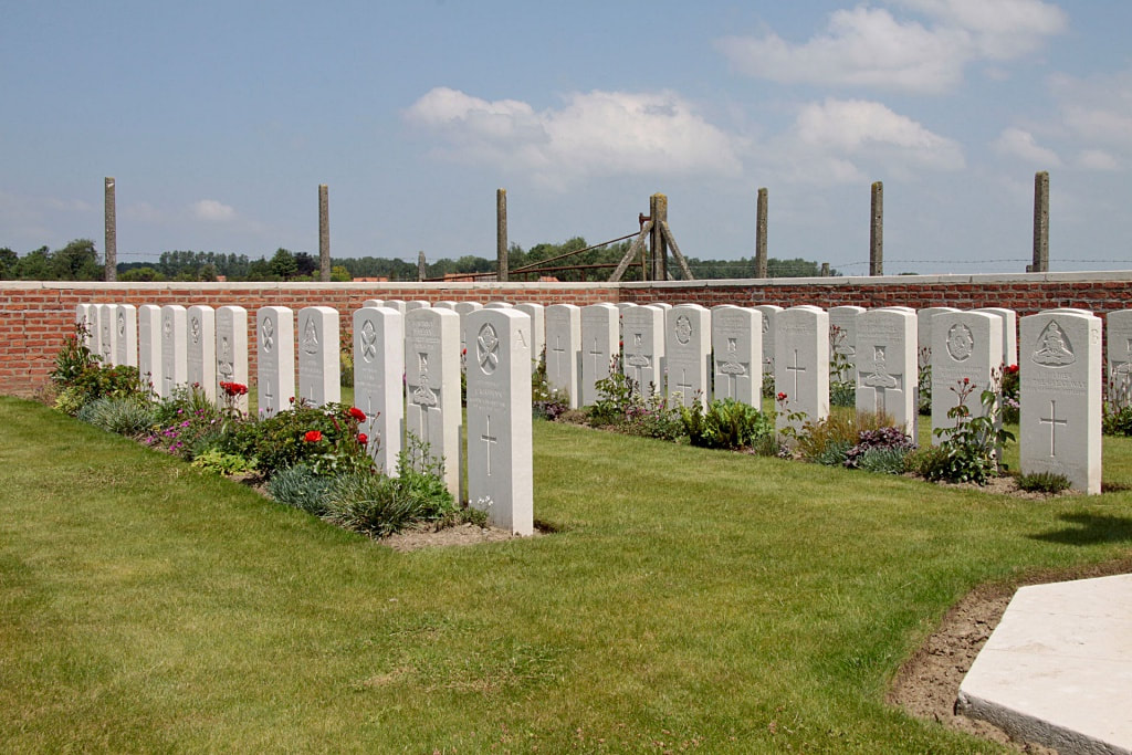
RED FARM MILITARY CEMETERY
West-Vlaanderen
Belgium
GPS Coordinates: Latitude: 50.85481 Longitude: 2.78041
Location Information
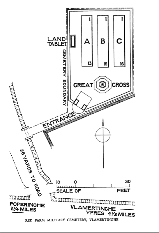
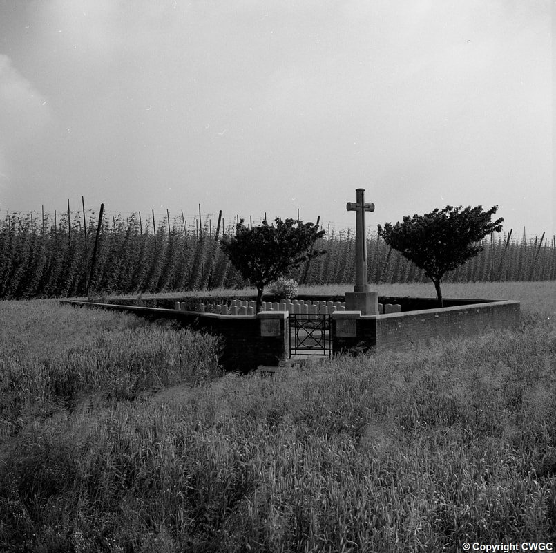
Red Farm Military Cemetery is located 7.5 kilometres west of Ieper town centre, on the Poperingseweg N308 connecting Ieper to Poperinge.
From Ieper town centre the Poperingseweg (N308), is reached via Elverdingsestraat then directly over two small roundabouts in the J.Capronstraat. The Poperingseweg is a continuation of the J.Capronstraat and begins after a prominent railway level crossing.
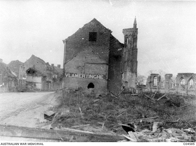
The cemetery itself lies 7 kilometres along the N308 Poperingseweg on the right hand side of the road, after passing through the village of Vlamertinge and Brandhoek.
Visiting Information
Wheelchair access to this cemetery possible via main entrance.
Historical Information
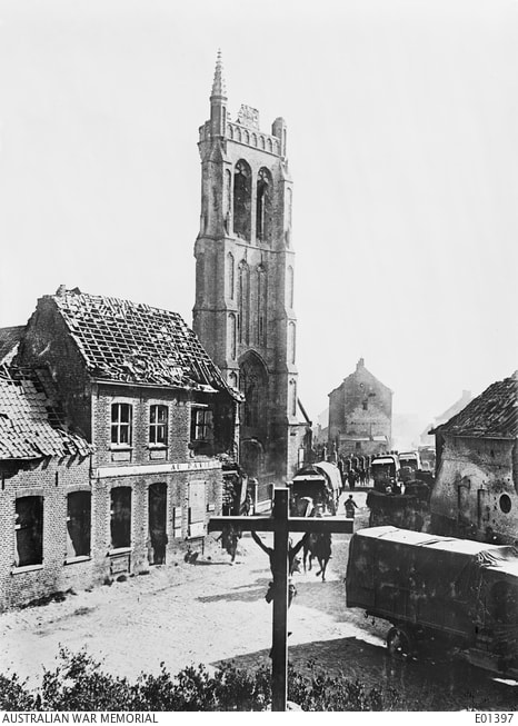
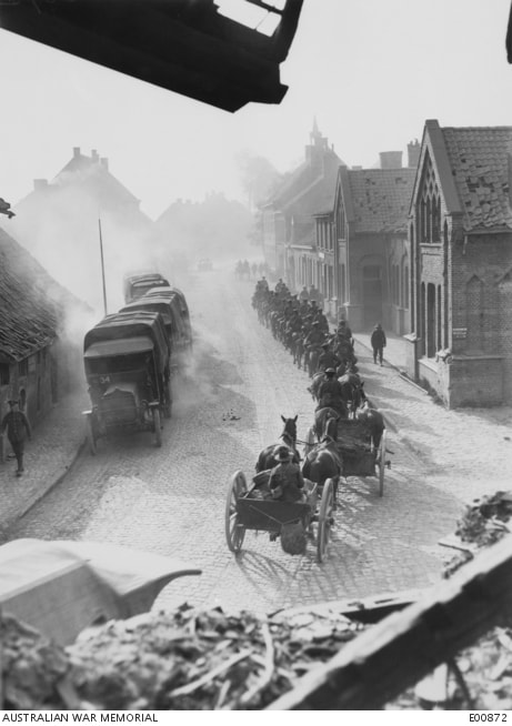
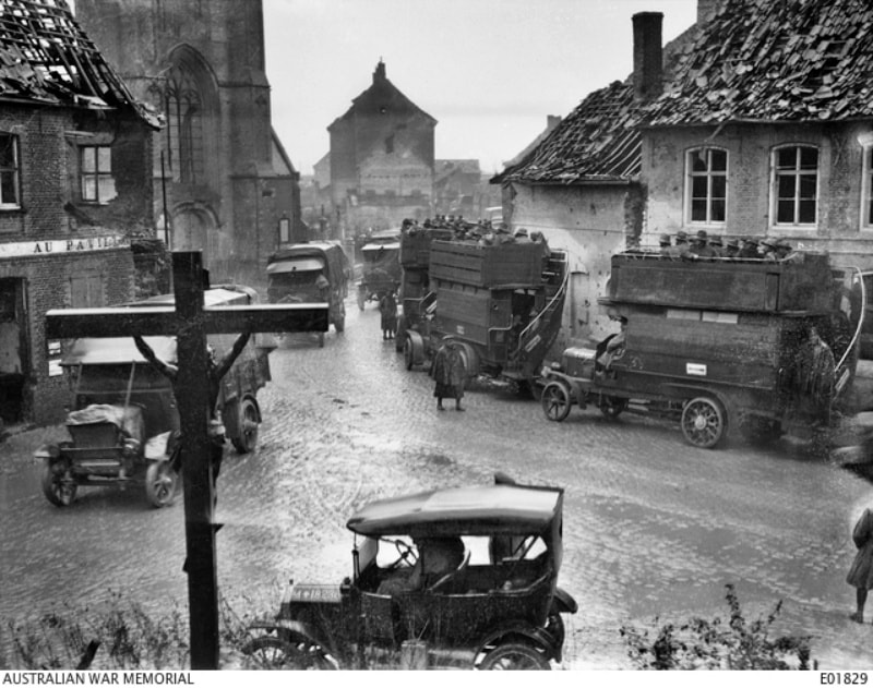
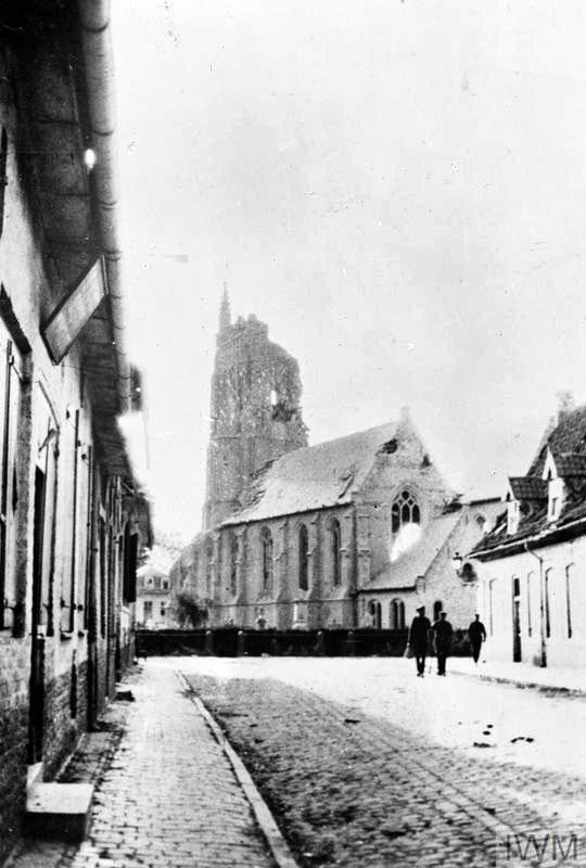
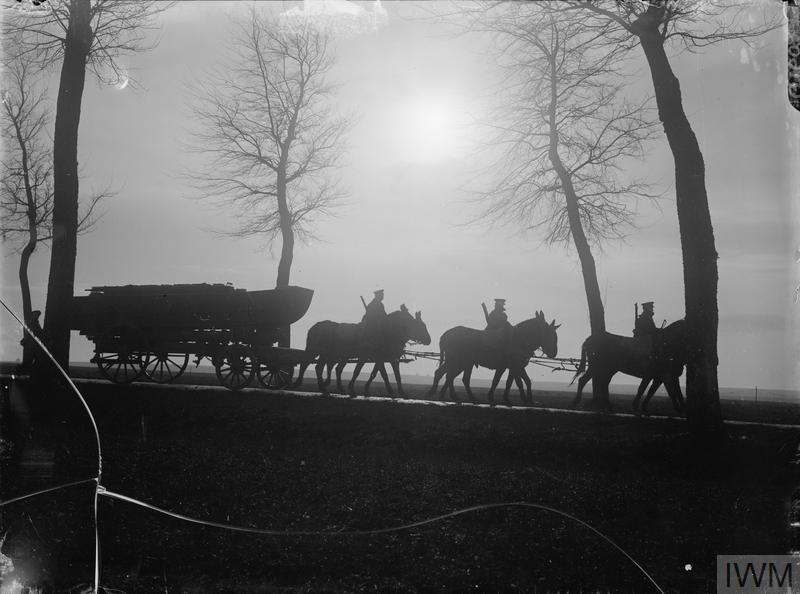
For much of the First World War, Vlamertinghe (now Vlamertinge) was just outside the normal range of German shell fire and the village was used both by artillery units and field ambulances. During the Battle of the Lys in April 1918, a new cemetery was established near the "Red Farm", which was used during April and May.
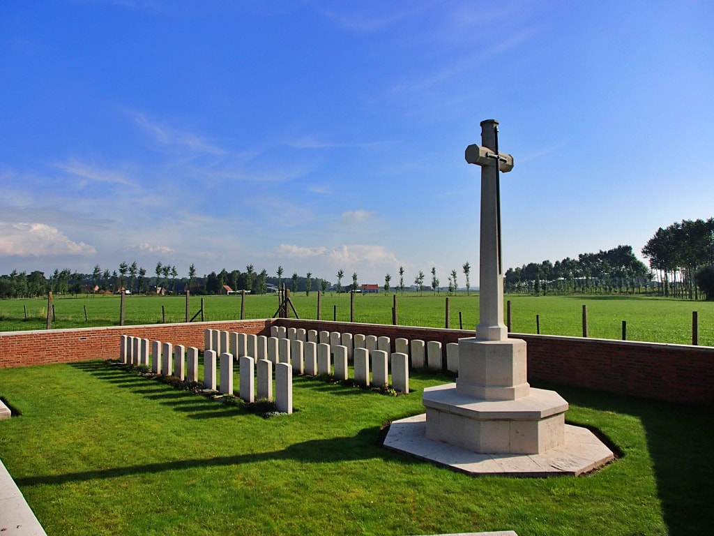
Red Farm Military Cemetery contains 46 burials of the First World War, 17 of them unidentified.
The cemetery was designed by A J S Hutton.
Total Burials: 49.
Identified Casualties: United Kingdom 29.
Unidentified Casualties: 17.
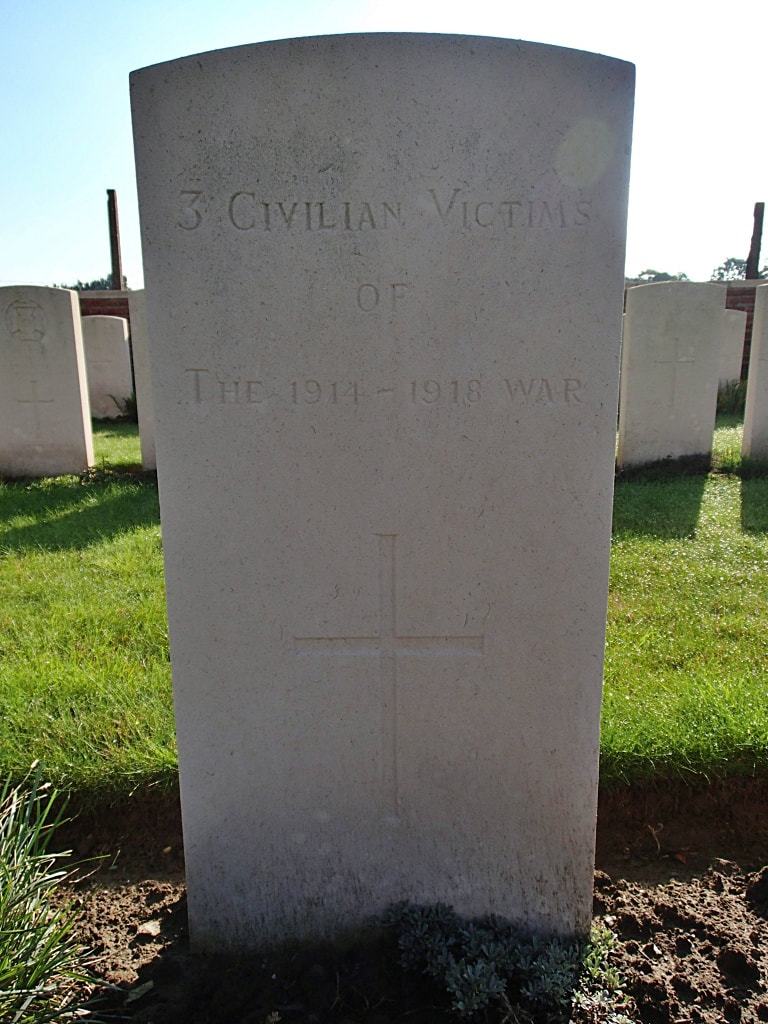
Civilian Dead: 3.
Images in this gallery © Geerhard Joos
Images in this gallery © Werner Van Caneghem
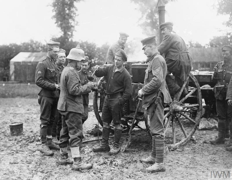
Canadian troops being issued with a tea ration from their field kitchen; near Poperinghe, 14th June 1916. They are wearing captured German headware - feldmutzen and stahlhelms. The soldier in the foreground created a little peak of sand on the top of his helmet to imitate a pickelhaube. © IWM (Q 703)

