WESTOUTER CHURCHYARD & EXTENSION
West-Vlaanderen
Belgium
GPS Coordinates: Latitude: 50.79754 Longitude: 2.7471
Location Information
Westouter Churchyard and Extension is located 12 Kms south-west of Ieper town centre, on a road leading from the N375 Dikkebusseweg.
From Ieper town centre the Dikkebusseweg (N375) is located via Elverdingsestraat, straight over a roundabout onto J.Capronstraat (for 30 metres), then left along M.Fochlaan. Immediately after the train station, the first right hand turning is the Dikkebusseweg.
10 Kms along the Dikkebusseweg after passing through the villages of Dikkebus and De Klijte, lies the right hand turning onto the N315 Sulferbergstraat. 2.5 Kms along the N315 lies the village of Westouter.
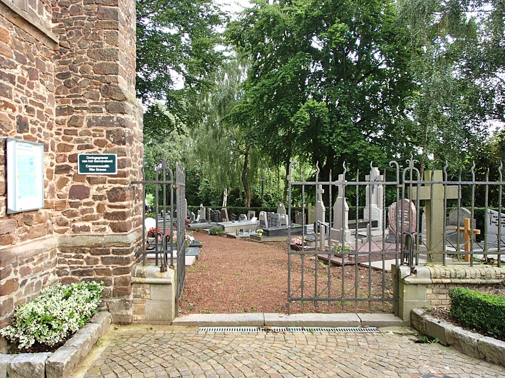
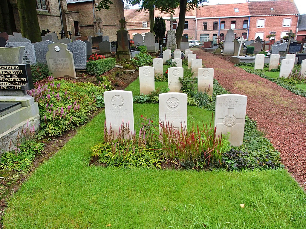
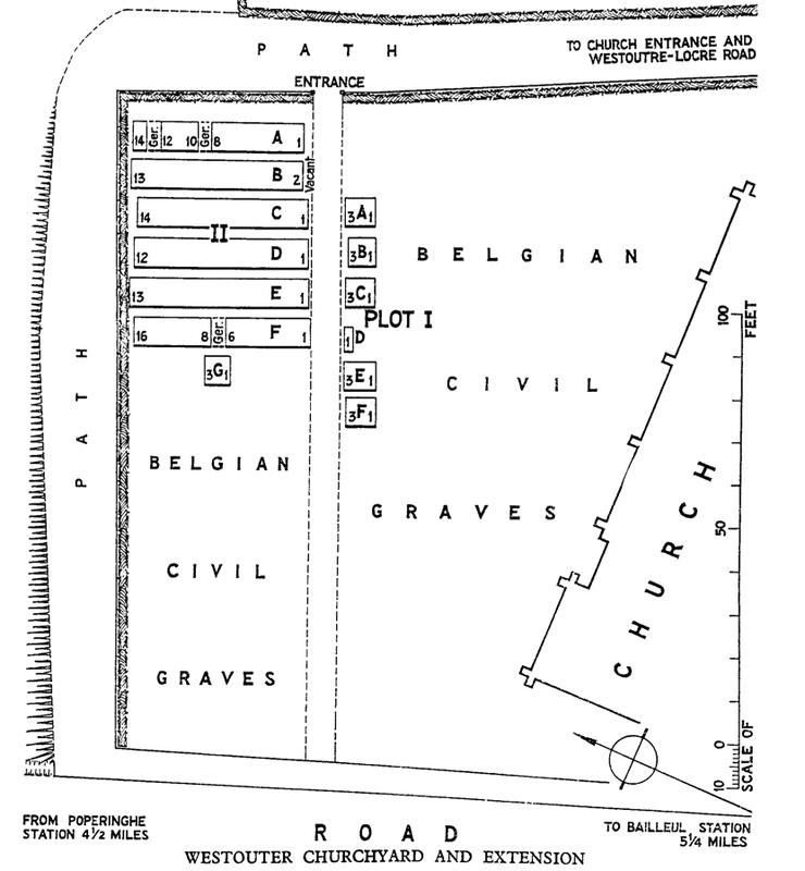
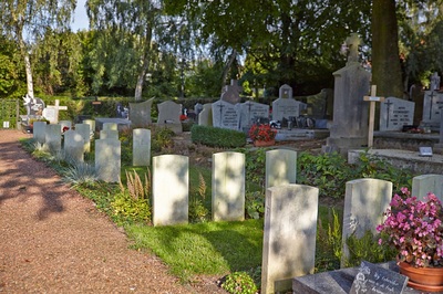
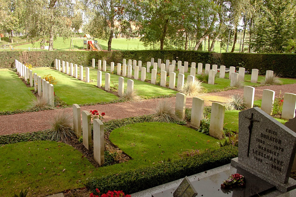
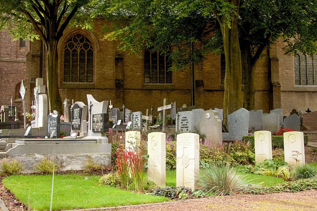
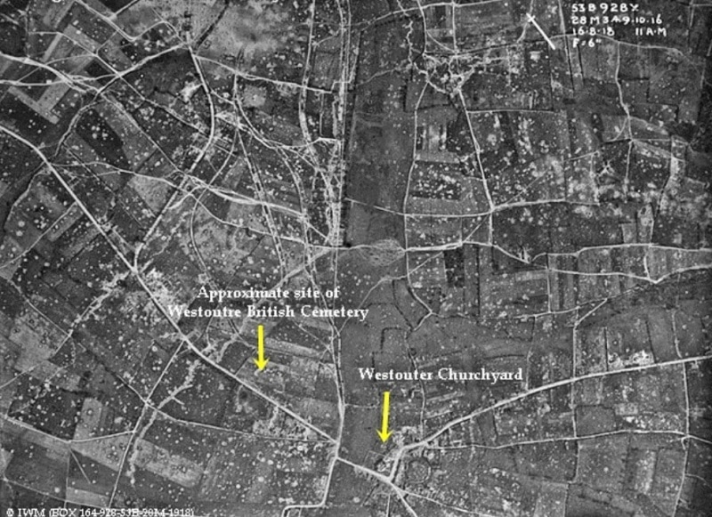
The churchyard is located in the centre of the village and the War Graves plot is located on the far right hand side of the cemetery after entering the site.
Visiting Information
Wheelchair access is possible via the main entrance.
Historical Information
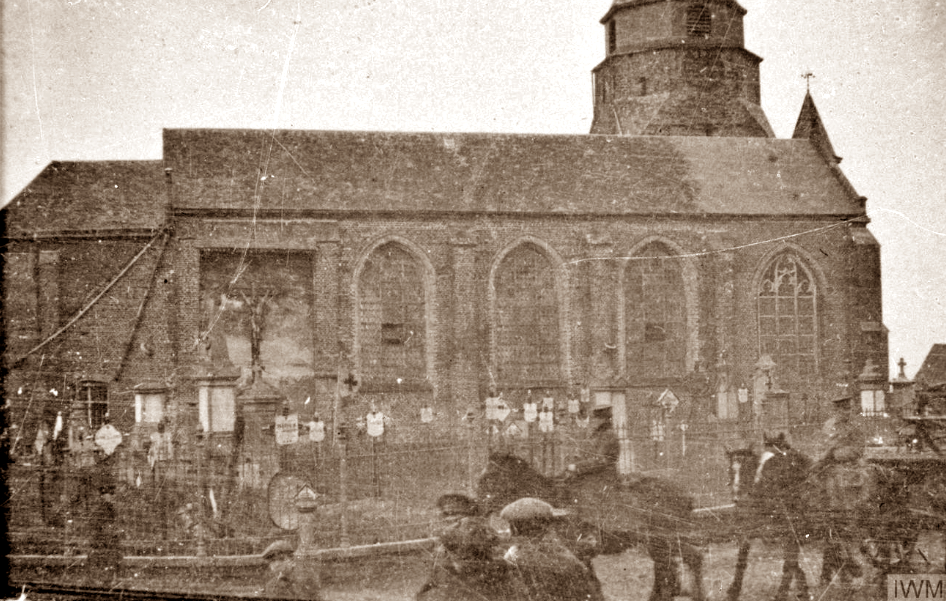
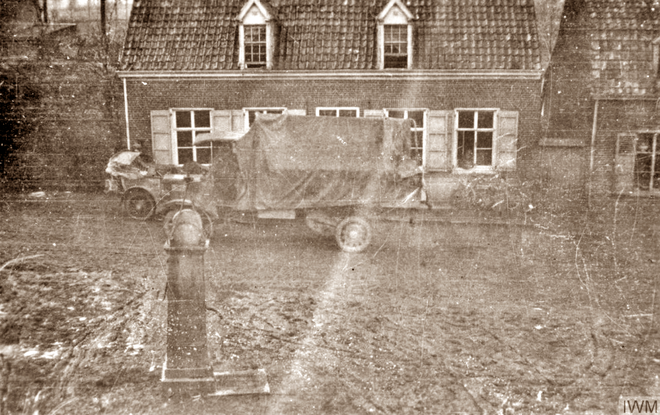
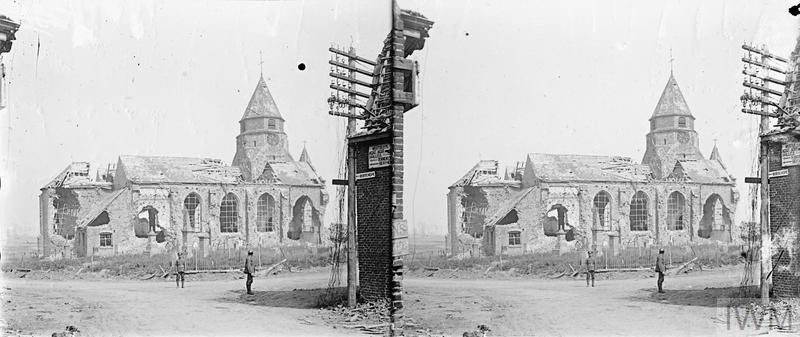
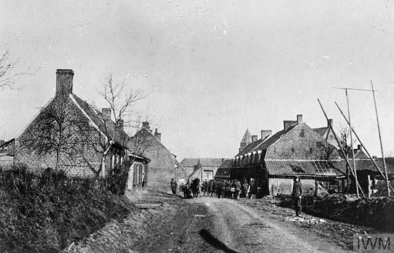
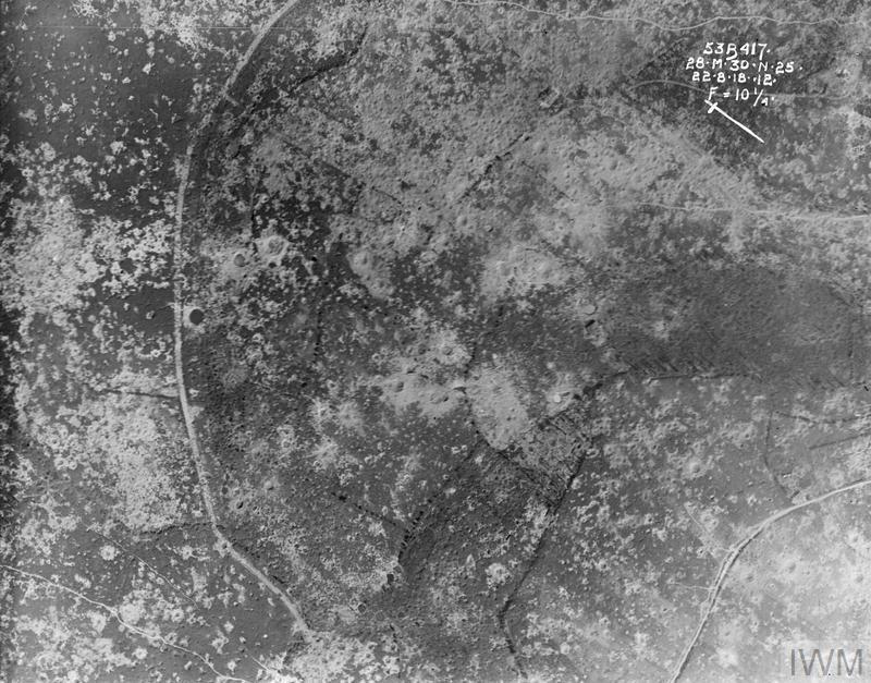
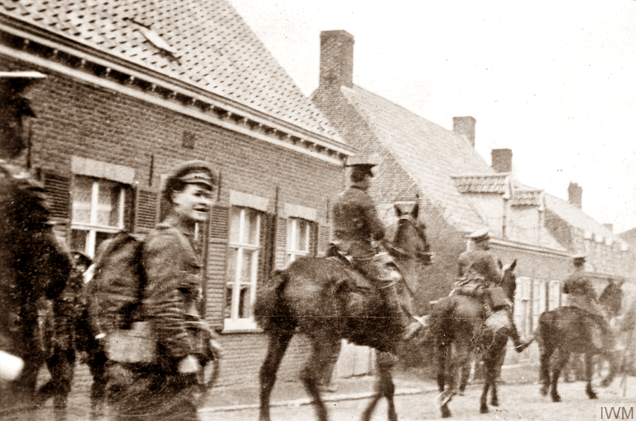
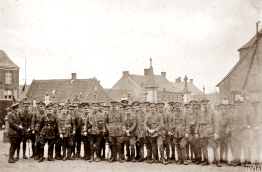
The village of Westoutre (now Westouter) remained in Allied hands from the early months of the First World War to the Armistice, but in the summer of 1918, after the Battles of the Lys, it was within 2.4 Kms of the front line.
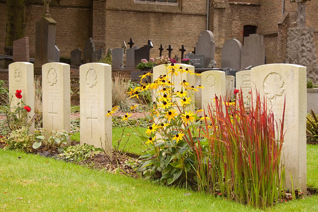
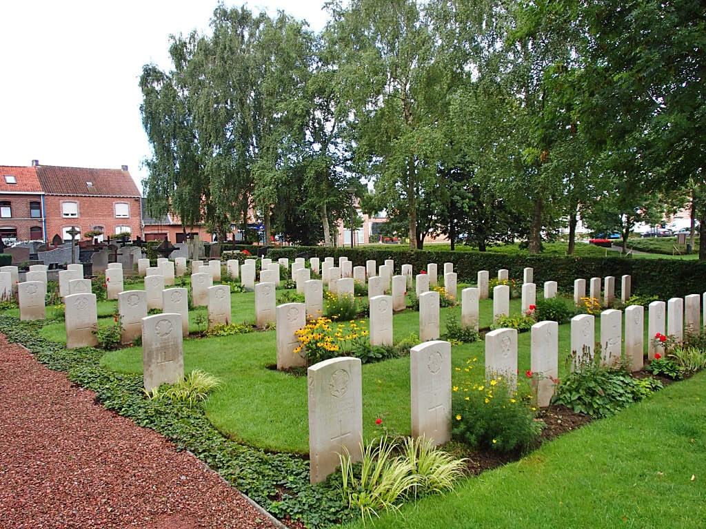
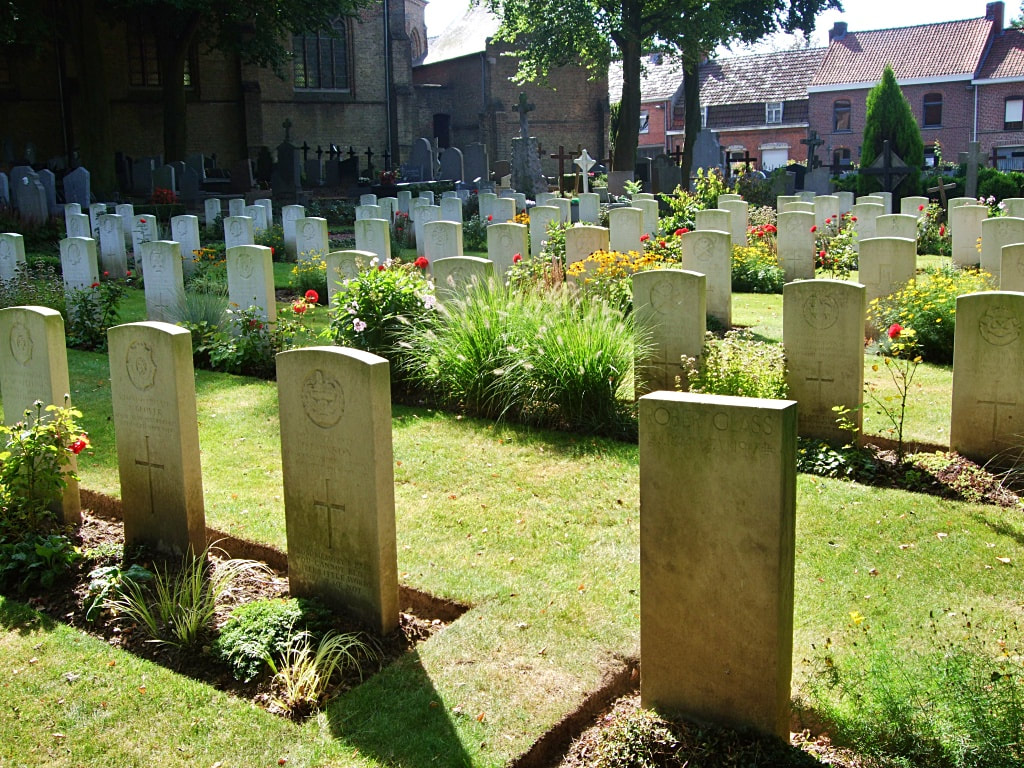
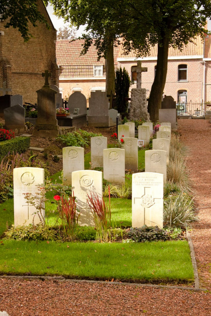
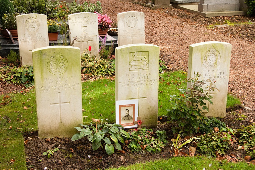
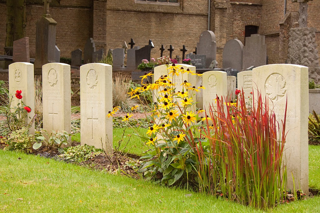
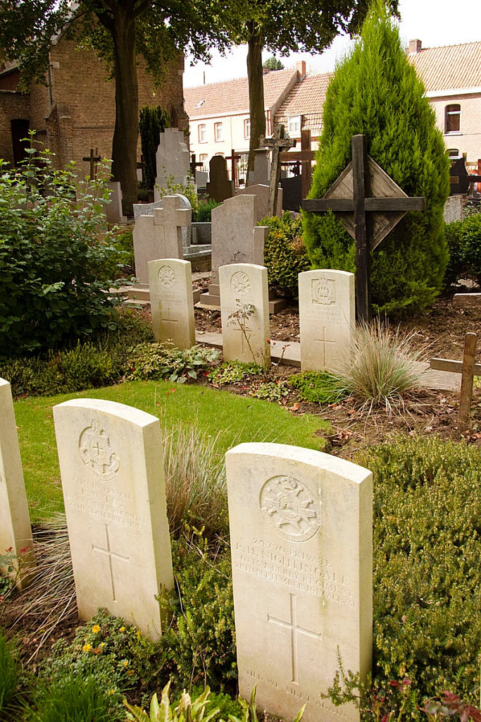
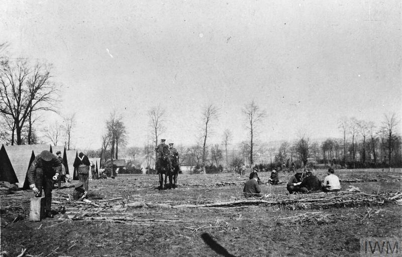
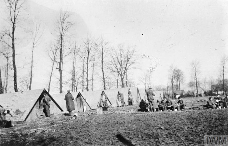
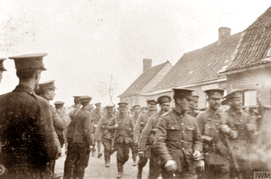
The Churchyard and Extension was used by field ambulances and fighting units at intervals from November 1914 to September 1918. It contains 98 Commonwealth burials of the First World War and three German graves.
Total Burials: 101.
World War One Identified Casualties: United Kingdom 76, Canada 18, Germany 3, Australia 1, India 1, New Zealand 1. Total 100.
World War One Unidentified Casualty: Canada 1.
Images in this gallery © Geerhard Joos
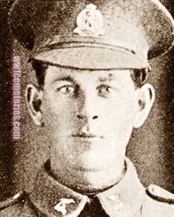
36972 Rifleman
William Edwin Harris
2nd Bn. 3rd New Zealand Rifle Brigade
24th September 1917
Plot II. E. 9.
William Edwin Harris
2nd Bn. 3rd New Zealand Rifle Brigade
24th September 1917
Plot II. E. 9.
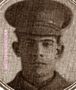
65955 Private
James Syder
24th Bn. Canadian Infantry
5th December 1915, aged 23.
Plot II. C. 3.
Son of Joseph and Octavia Syder, of 7, Fraser St., Port of Spain, Trinidad, British West Indies. Native of Trinidad.
James Syder
24th Bn. Canadian Infantry
5th December 1915, aged 23.
Plot II. C. 3.
Son of Joseph and Octavia Syder, of 7, Fraser St., Port of Spain, Trinidad, British West Indies. Native of Trinidad.

