DADIZELE COMMUNAL CEMETERY
West-Vlaanderen
Belgium
GPS Coordinates Latitude: 50.84902 Longitude: 3.08888
Location Information
Dadizeele Communal Cemetery, (now Dadizele), is located 16 Km east of Ieper town centre on a road leading from the N8 Meenseweg, connecting Ieper to Menen (Menin) via Geluwe.
From Ieper town centre the Meenseweg is located via Torhoutstraat and then right onto Basculestraat. Basculestraat ends at a main crossroads, directly over which begins the Meenseweg.
12 Km along the N8 lies the village of Geluwe and the left hand turning onto the Nieuwestraat, (200 metres later called Derdelansiersstraat, towards Dadizele). 5 Km along this road lies the village of Dadizele.
The cemetery is located on the junction with Geluwestraat and Beselarestraat in the village of Dadizele.
Visiting Information
Wheelchair access possible via main entrance.
Historical Information
The village of Dadizeele (now Dadizele) was in German hands for much of the First World War until reached by the 36th (Ulster) Division, and taken by the 9th (Scottish) Division, on 29 September 1918. Severe fighting followed on 1 October, at Hill 41, a little south of the village.
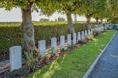
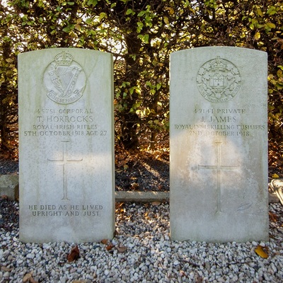
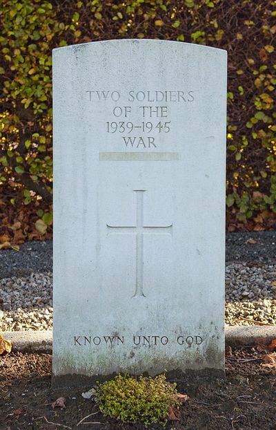
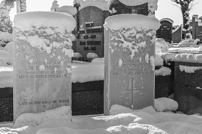
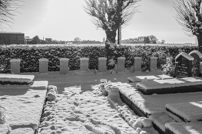
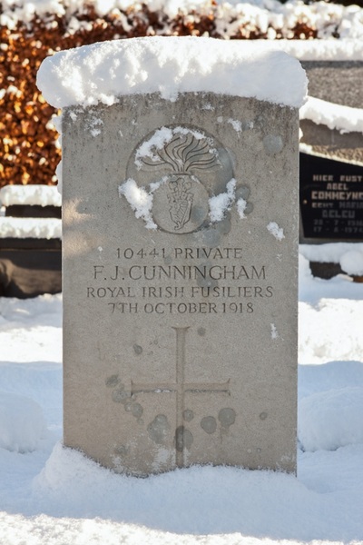
The communal cemetery contains 27 Commonwealth burials of the First World War, 1 being unidentified. These are mainly men of the 36th Division. There are also two unidentified Second World War burials and two unidentified French war graves.
World War One Identified Casualties: United Kingdom 26.
World War One Unidentified Casualty: 1.
World War Two Unidentified Casualties: 2.
Pictures © Werner Van Caneghem

