LEVERGIES COMMUNAL CEMETERY
Aisne
France
GPS Coordinates: Latitude: 49.93036, Longitude: 3.30867
Location Information
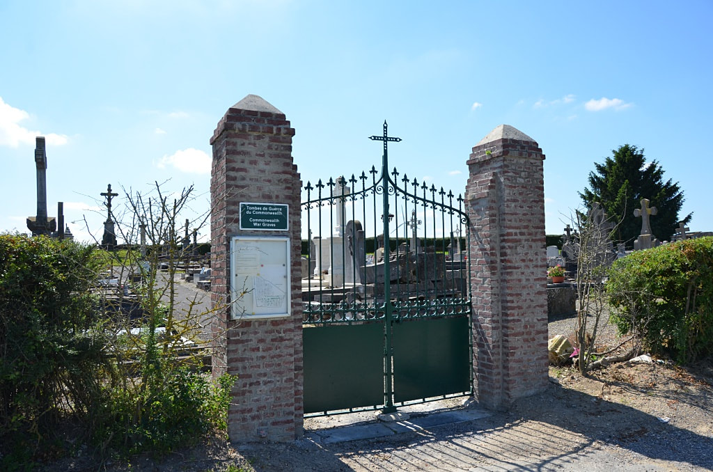
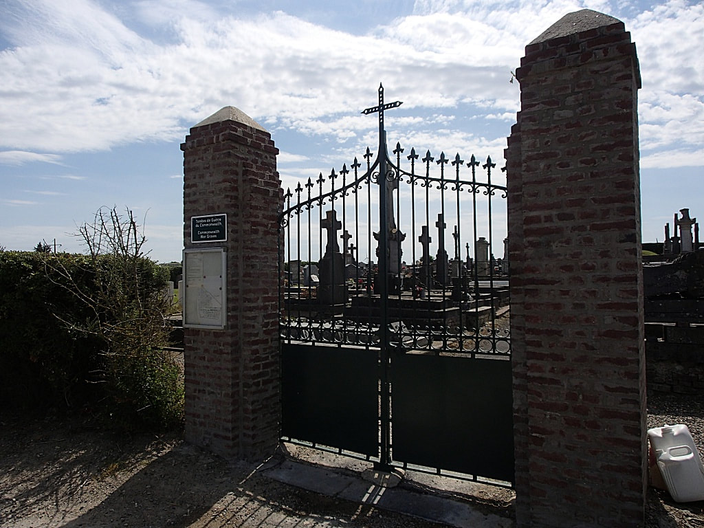
Levergies is a village in the north-western sector of the Department of the Aisne, 10 kilometres north of St Quentin. The Communal Cemetery is situated to the north of the village on the D71 which connects Levergies with Joncourt, and the Commonwealth War Graves will be found on the left of the entrance within the cemetery.
History Information
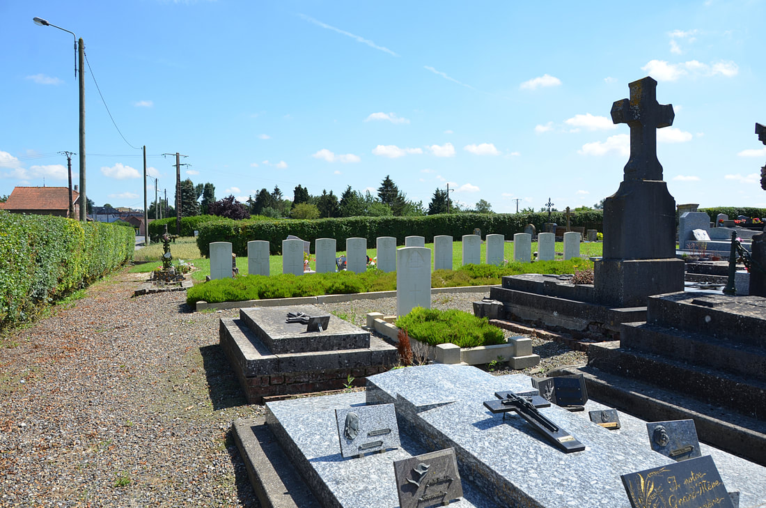
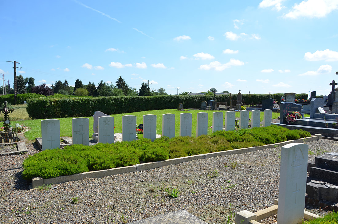
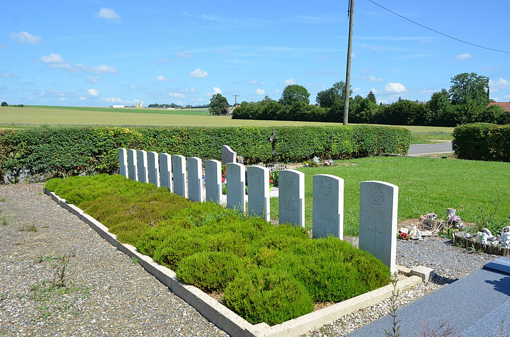
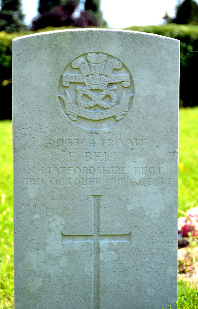
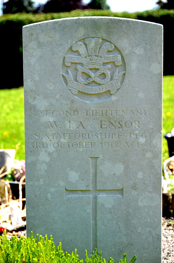
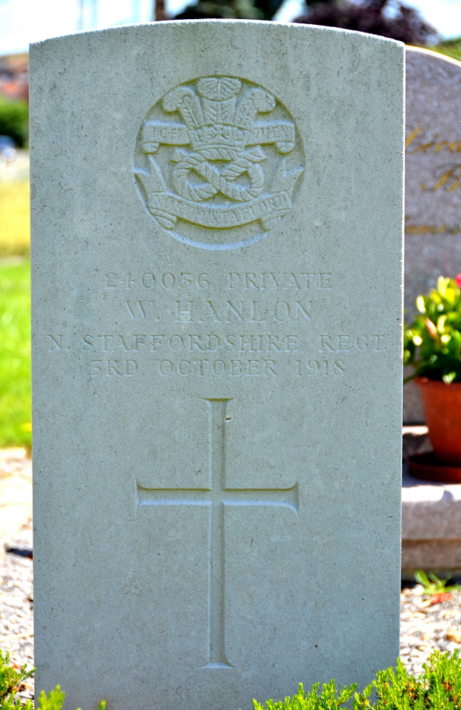
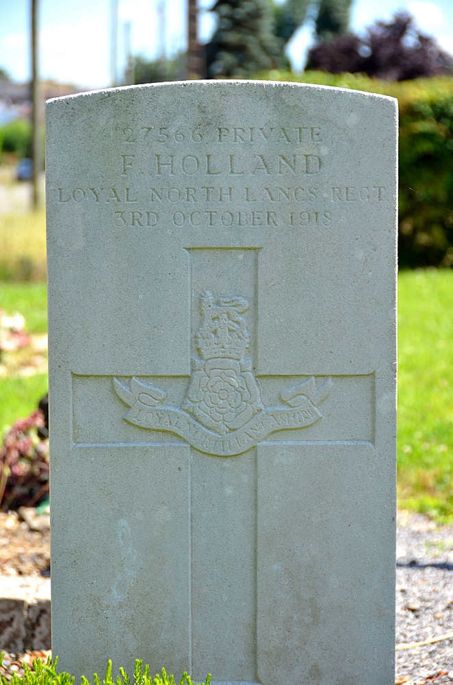
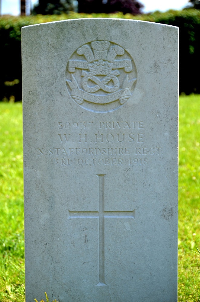
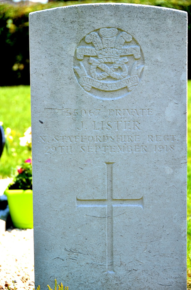
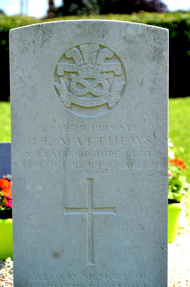
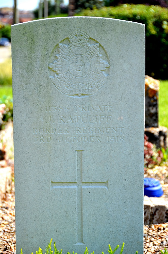
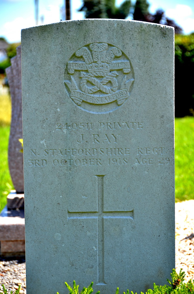
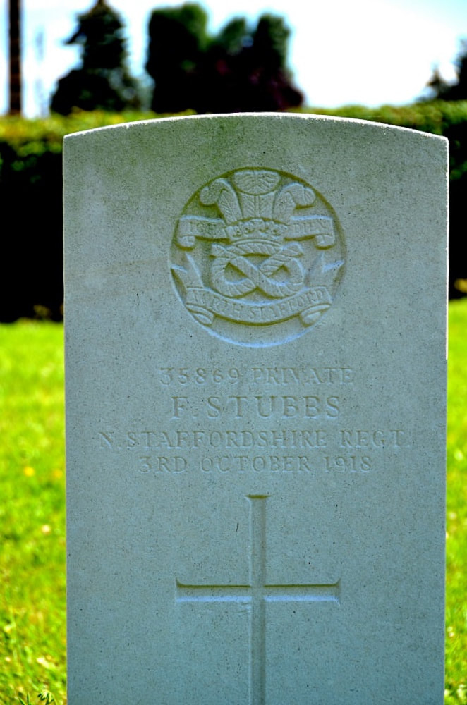
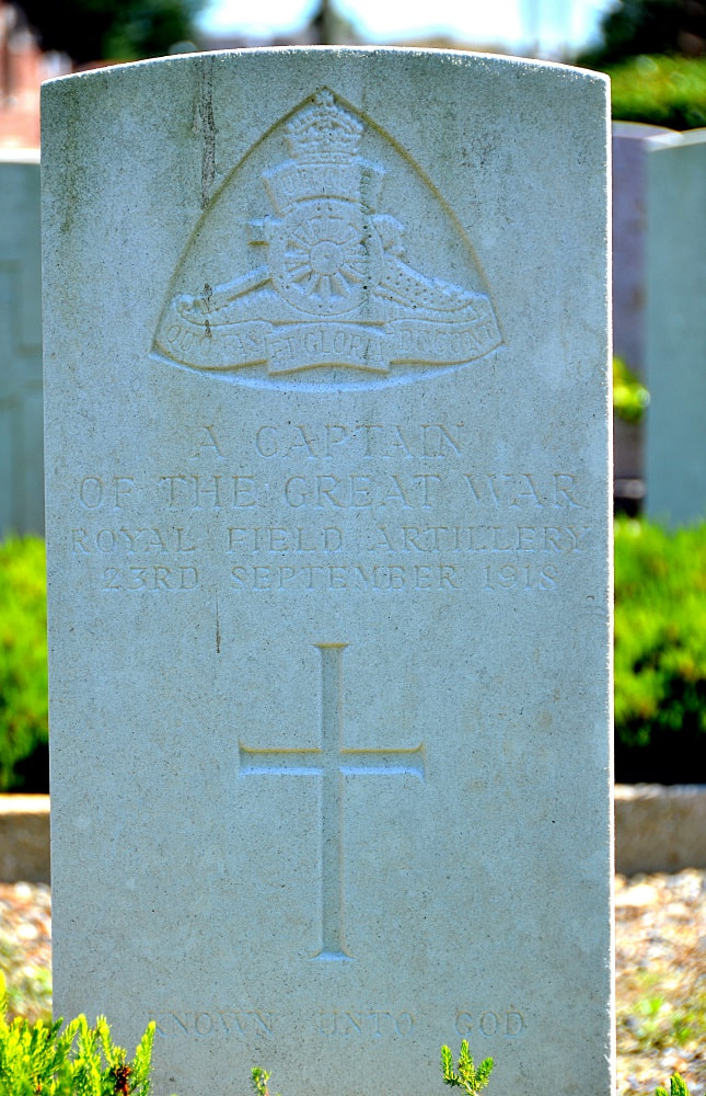
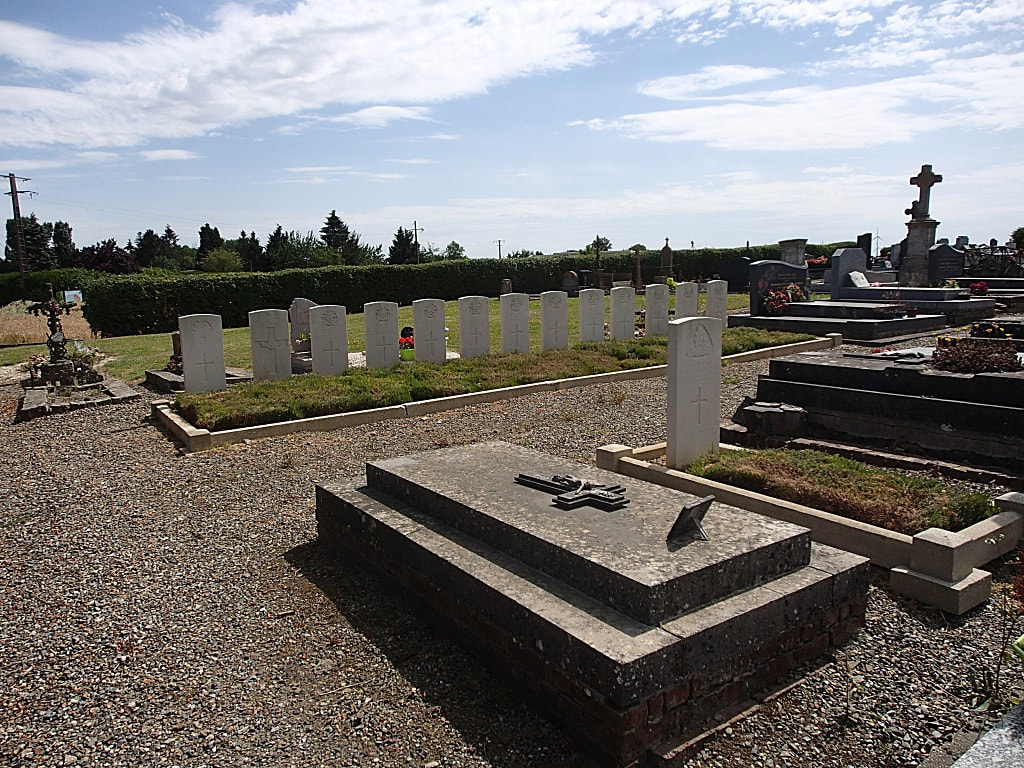
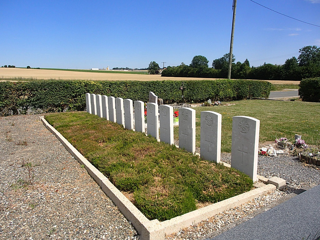
Levergies was captured by the 32nd Division on the 30th September, 1918. There are now 14, 1914-18 war casualties commemorated in this site, of which 1 is unidentified. All who fell on the 3rd and 4th October, 1918.
Levergies is a village in the north-western sector of the Department of the Aisne, 10 kilometres north of St Quentin. The Communal Cemetery is situated to the north of the village on the D71 which connects Levergies with Joncourt, and the Commonwealth War Graves will be found on the left of the entrance within the cemetery.
History Information
Levergies was captured by the 32nd Division on the 30th September, 1918. There are now 14, 1914-18 war casualties commemorated in this site, of which 1 is unidentified. All who fell on the 3rd and 4th October, 1918.
Pictures in gallery below Johan Pauwels
Click on Individual Headstone for Details
Click on Individual Headstone for Details