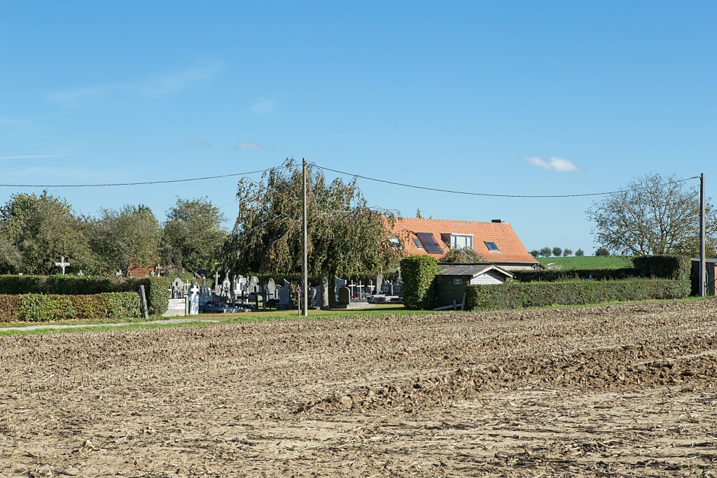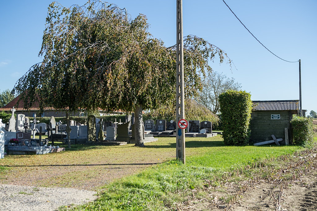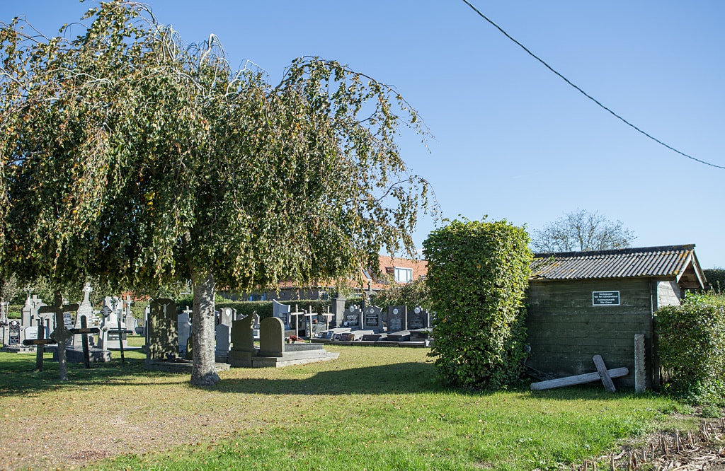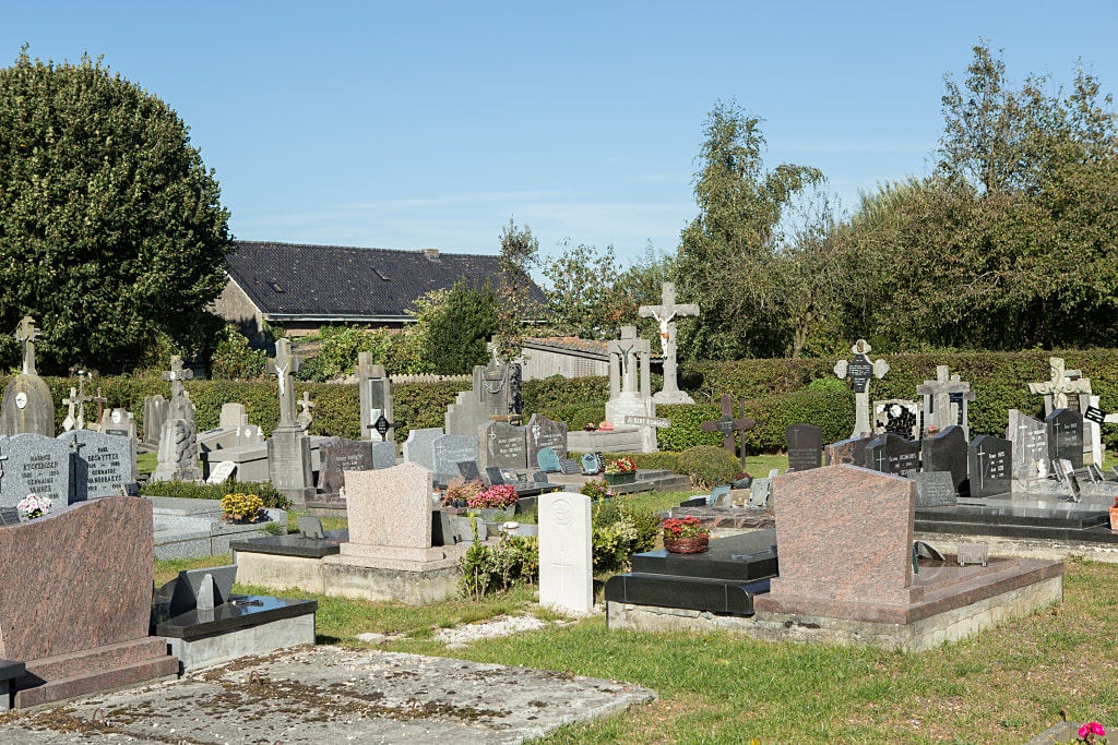
ST. JAN-TER-BIEZEN COMMUNAL CEMETERY
West-Vlaanderen
Belgium
GPS Coordinates: Latitude: 50.85802, Longitude: 2.66479
Location Information
St Jan-ter-Biezen Communal Cemetery is located 14 kilometers west of Ieper town centre on the Kapellestraat, a road leading from the Watouseweg connecting Watou to Poperinge. The N308 connects Ieper to Poperinge. From Ieper town centre the Poperingseweg (N308), is reached via Elverdingsestraat then over two small roundabouts in the J. Capronstraat. The Poperingseweg is a continuation of the J. Capronstraat and begins after a prominent railway level crossing. On reaching Poperinge the N308 meets the left hand turning on to the Poperinge Ring road, R33. The R33 rejoins the N308 on the west side of Poperinge where it continues for 1 Km to the junction with the Watouseweg. The Watouseweg continues for 3 Km to the village of St Jan Ter Biezen. The first left hand turning in the village leads onto the Kapellestraat. The communal cemetery itself is located 600 metres down the Kapellestraat on the LEFT hand side of the road, 150 metres after passing the village church on the right hand side. The war grave is in the middle of the cemetery.
Historical Information
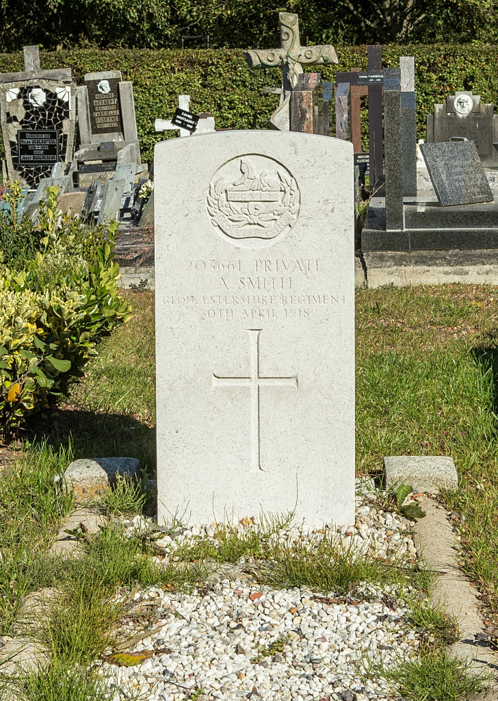
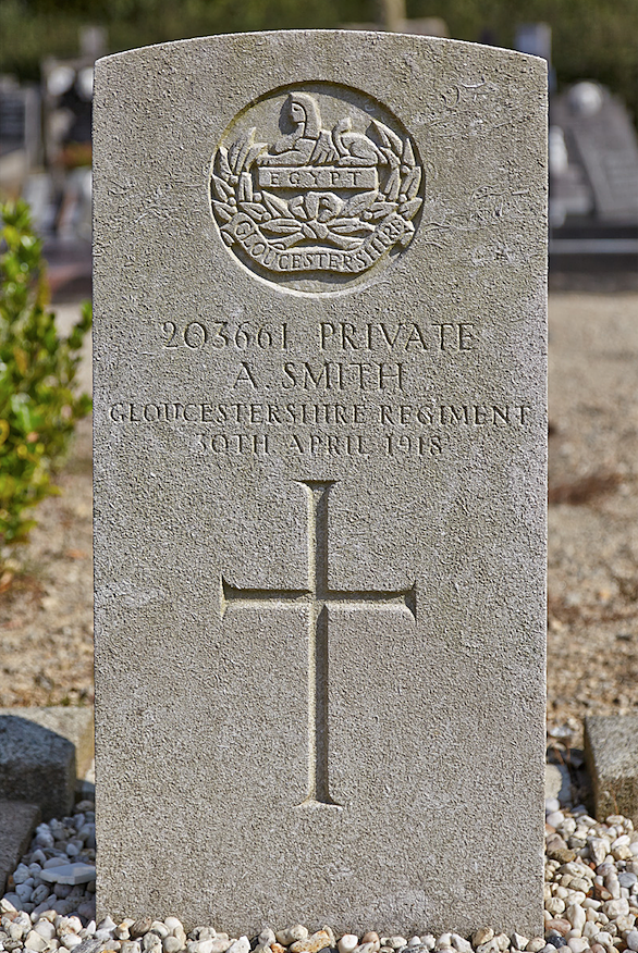
This communal cemetery contains one Commonwealth burial of the First World War.
Burial details:
203661 Private Alfred Smith, 1st/5th Bn. Gloucestershire Regt. 30th April 1918.
St Jan-ter-Biezen Communal Cemetery is located 14 kilometers west of Ieper town centre on the Kapellestraat, a road leading from the Watouseweg connecting Watou to Poperinge. The N308 connects Ieper to Poperinge. From Ieper town centre the Poperingseweg (N308), is reached via Elverdingsestraat then over two small roundabouts in the J. Capronstraat. The Poperingseweg is a continuation of the J. Capronstraat and begins after a prominent railway level crossing. On reaching Poperinge the N308 meets the left hand turning on to the Poperinge Ring road, R33. The R33 rejoins the N308 on the west side of Poperinge where it continues for 1 Km to the junction with the Watouseweg. The Watouseweg continues for 3 Km to the village of St Jan Ter Biezen. The first left hand turning in the village leads onto the Kapellestraat. The communal cemetery itself is located 600 metres down the Kapellestraat on the LEFT hand side of the road, 150 metres after passing the village church on the right hand side. The war grave is in the middle of the cemetery.
Historical Information
This communal cemetery contains one Commonwealth burial of the First World War.
Burial details:
203661 Private Alfred Smith, 1st/5th Bn. Gloucestershire Regt. 30th April 1918.