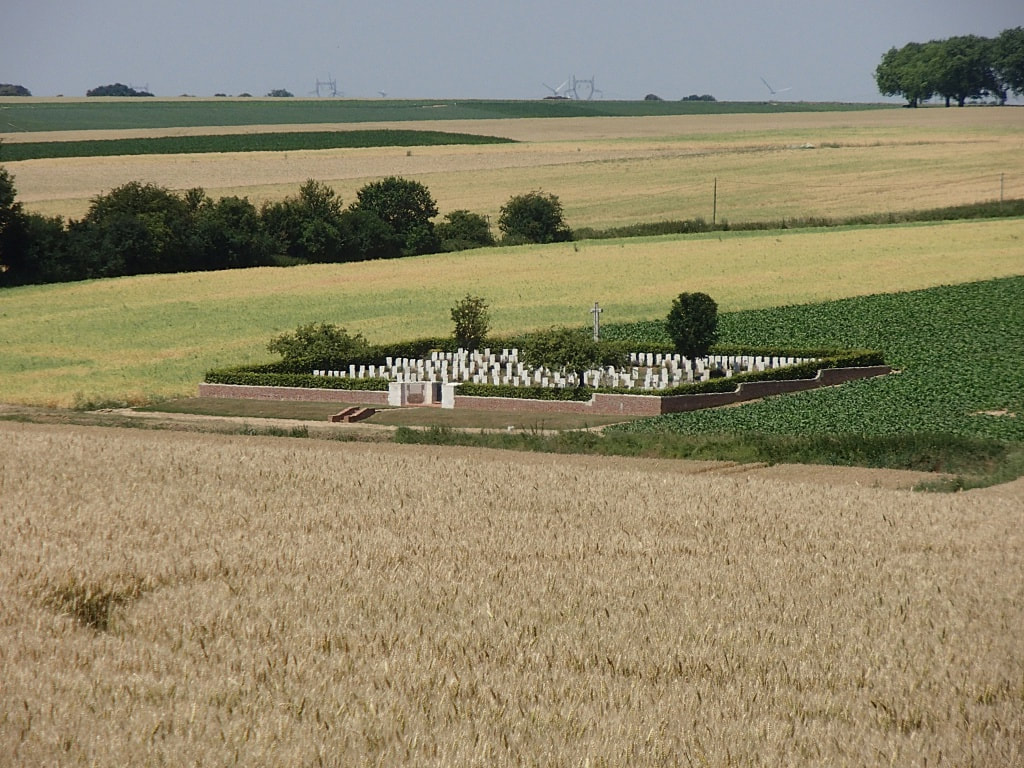
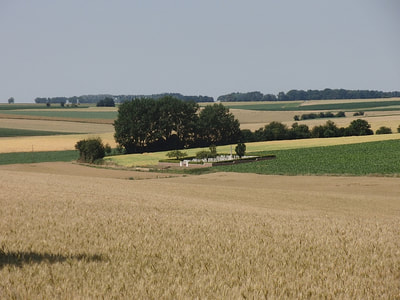
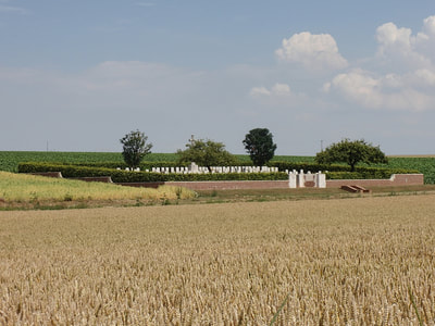
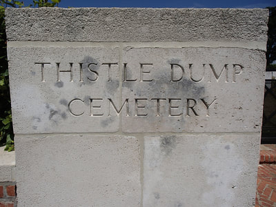
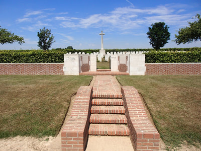
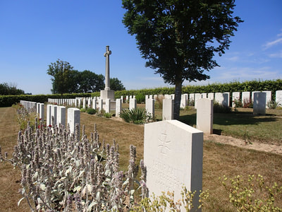
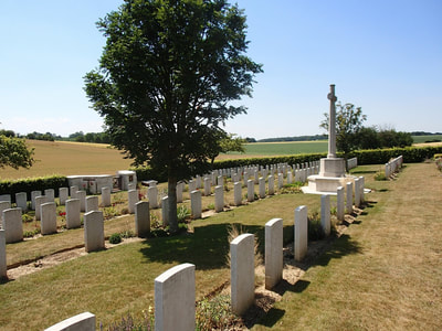
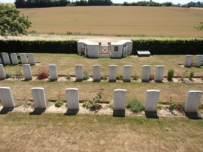
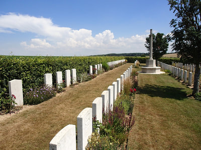
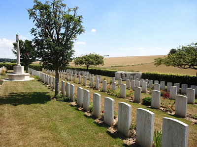
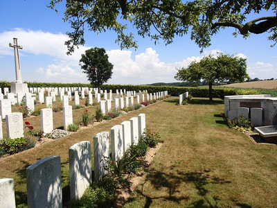
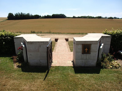
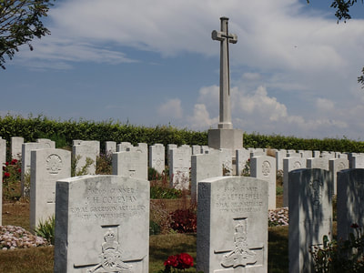
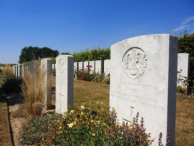
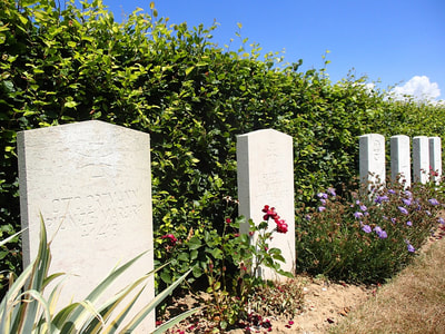
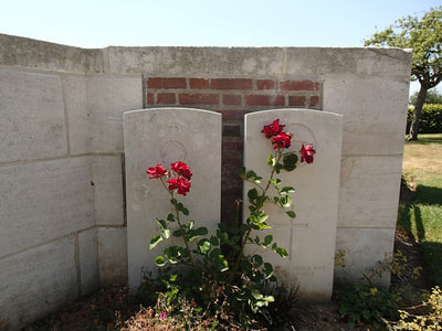
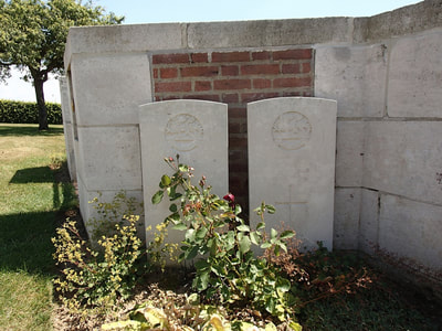
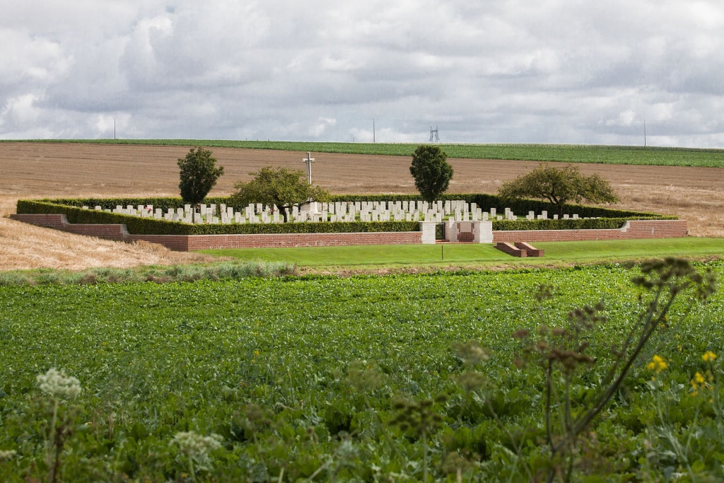
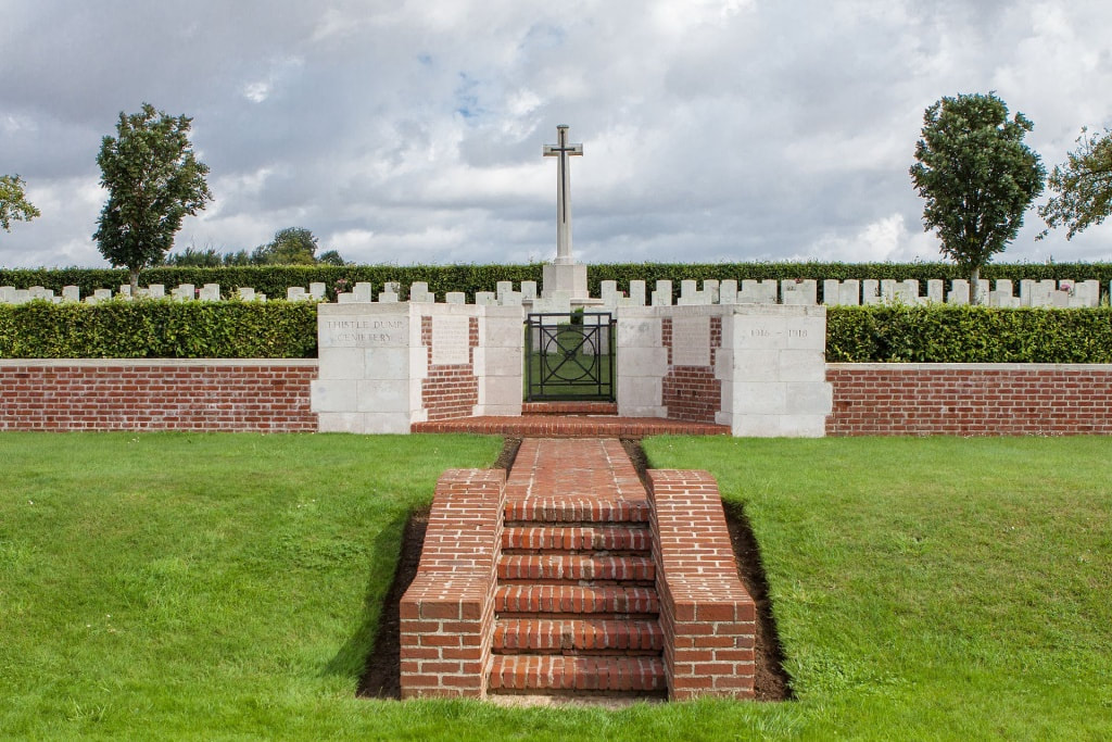
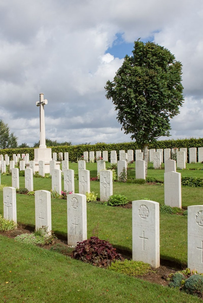
THISTLE DUMP CEMETERY
High Wood
Longueval
Somme
France
GPS Coordinates: Latitude: 50.02947, Longitude: 2.78528
Location Information
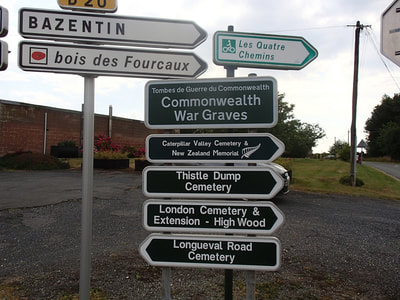
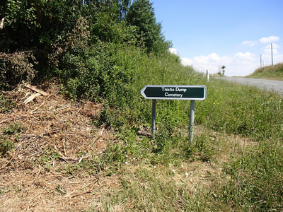
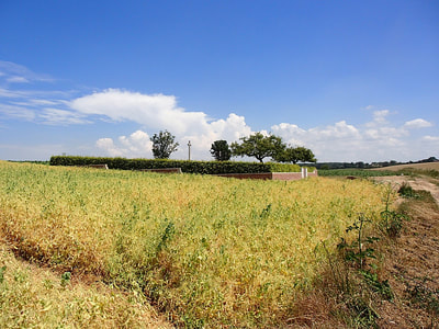
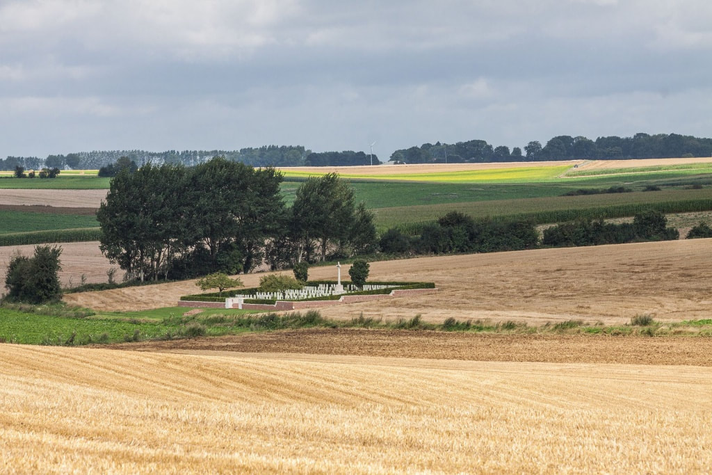
Longueval is a village 11 kilometres east of Albert. Travel north-east from Albert on the D929 in the direction of Bapaume. After 10 kilometres take the D6 in the direction of Martinpuich, then follow the signs for Longueval. At the D6/D20 junction stands a CWGC signpost for Thistle Dump Cemetery. The Cemetery is situated off the D20 down a track to the right.
Visiting Information
The rough access track to the cemetery can be difficult under bad weather conditions.
Wheelchair access to this cemetery is possible with some difficulty.
Historical Information
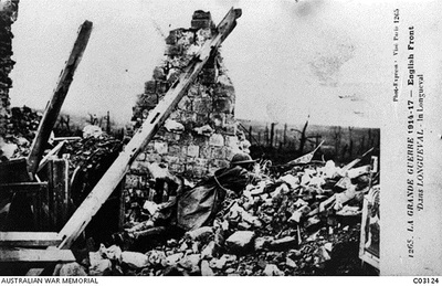
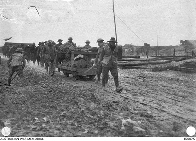
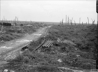
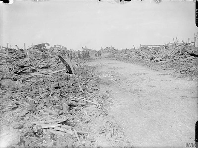
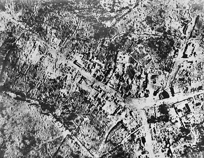
High Wood was fiercely fought over during the Battle of the Somme until cleared by 47th (London) Division on 15 September 1916. It was lost during the German advance of April 1918, but retaken the following August.
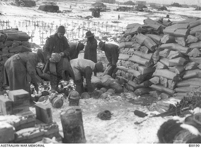
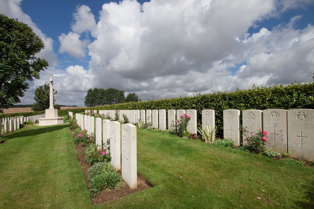
Thistle Dump Cemetery was begun in August 1916 and used as a front line cemetery until February 1917. It was later increased after the Armistice by the concentration of 56 graves from the Somme battlefields.
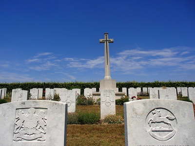
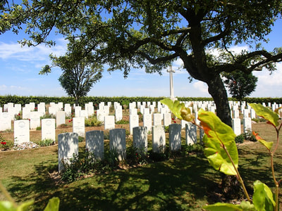
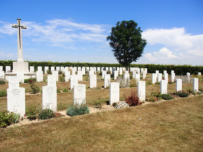
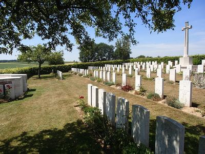
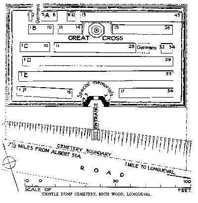
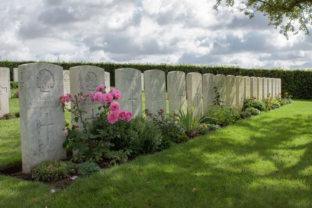
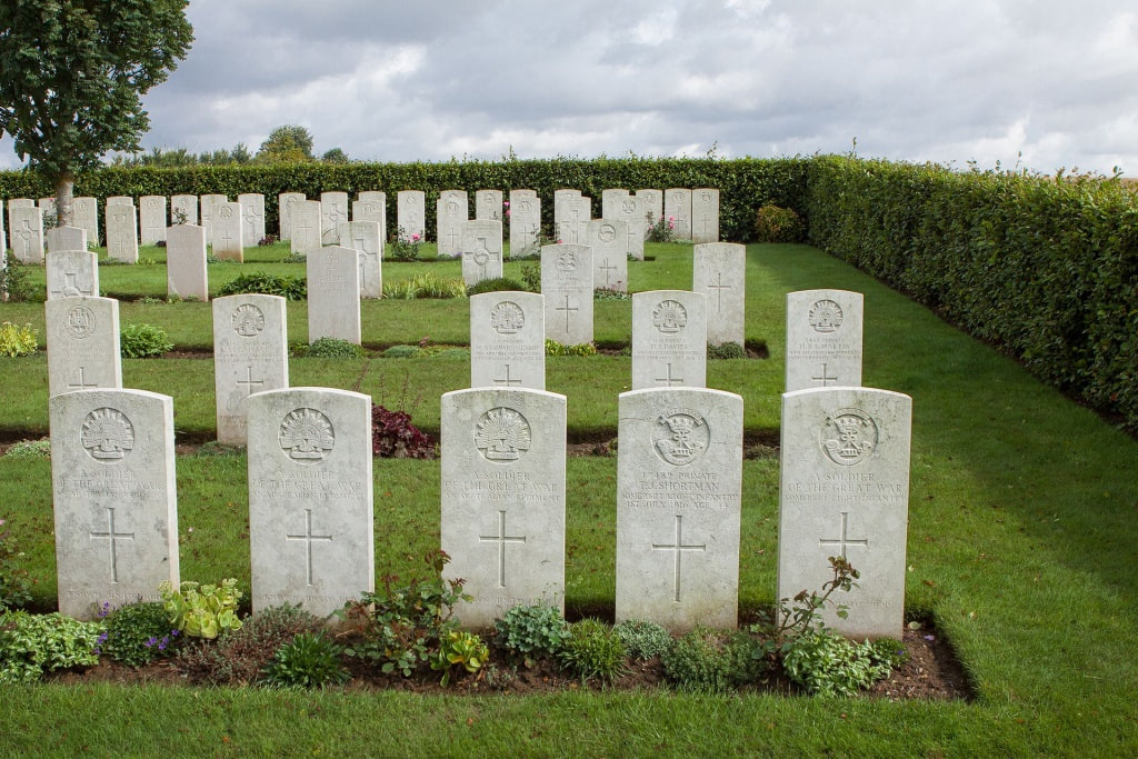
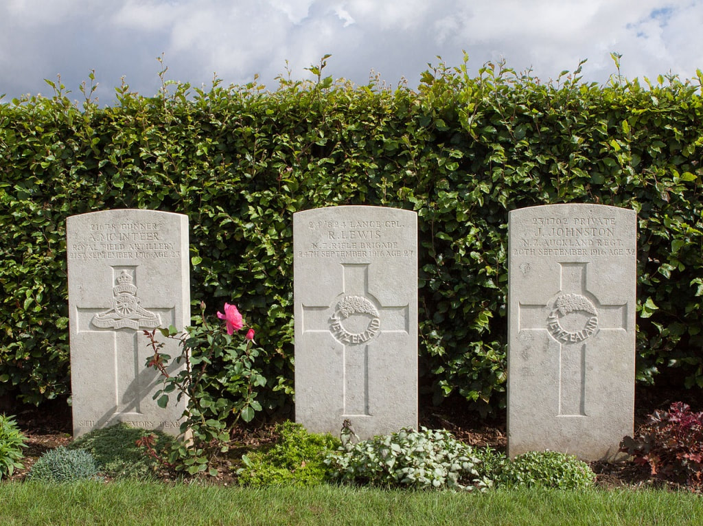
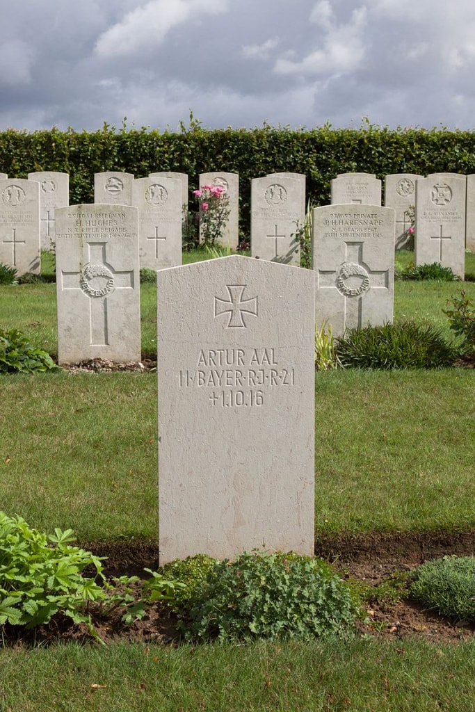
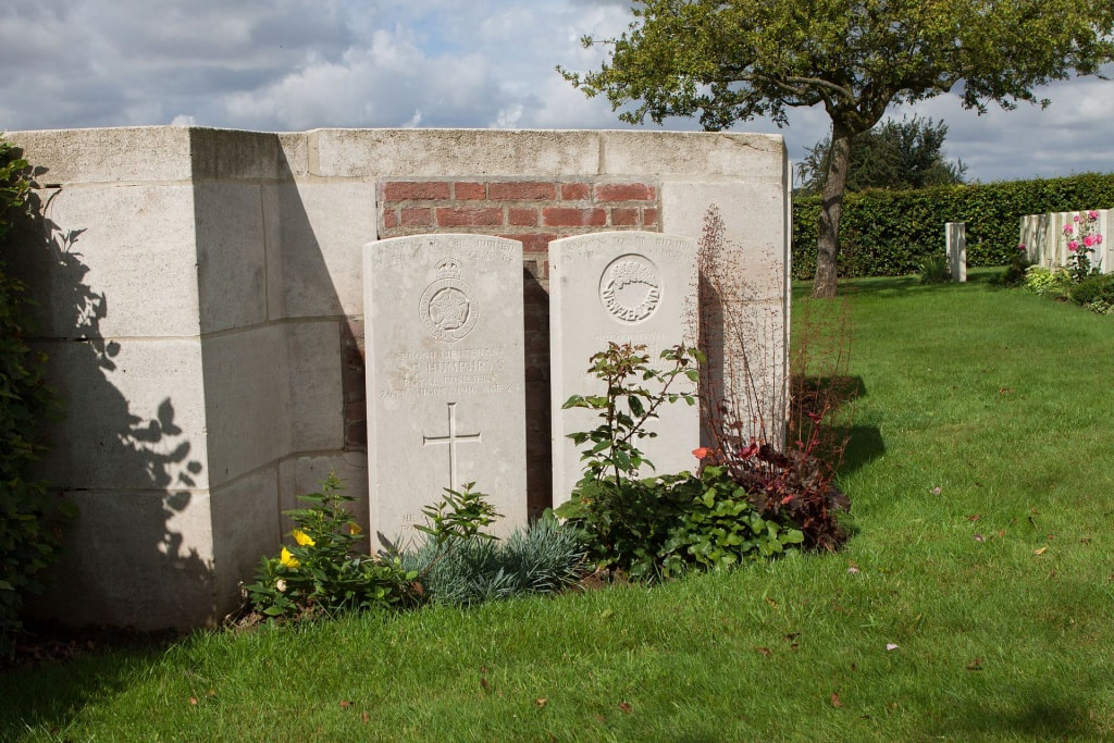
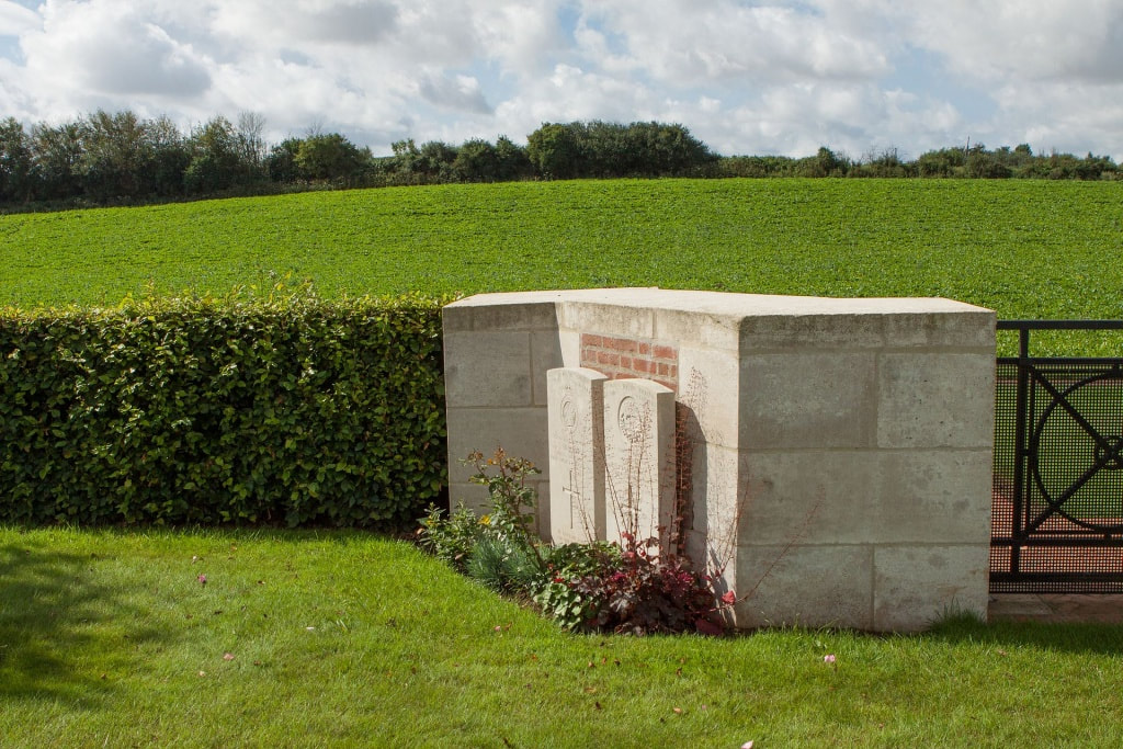
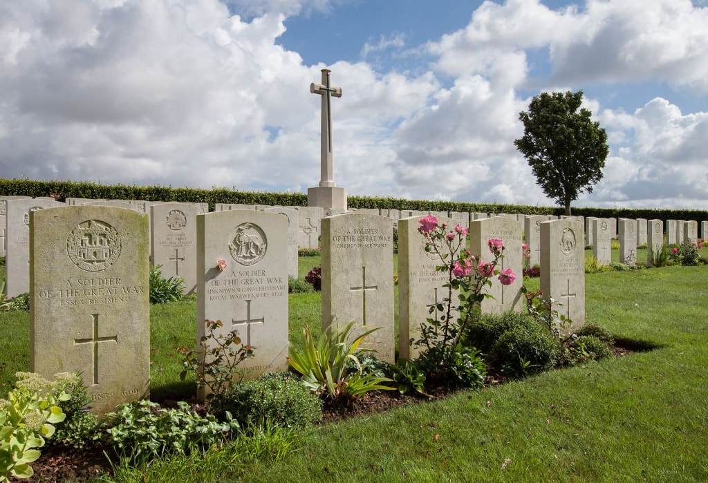
There are now 196 Commonwealth servicemen of the First World War buried or commemorated in the cemetery. 59 of the burials are unidentified but there are special memorials to four casualties known to be buried among them. The cemetery also contains seven German war graves.
The cemetery was designed by Arthur James Scott Hutton
Total Burials: 203.
Identified Casualties: United Kingdom 74, New Zealand 35, Australia 28. Total 144.
Unidentified Casualties: 59.

